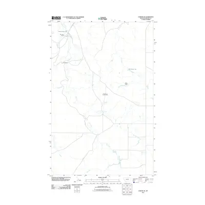
2011 Map of Coburg SE
USGS Topo · Published 2011About this map
Peoples Creek and Deer Creek wind through this northern Montana landscape, revealing a highly managed hydrological network in the Dodson District. The map highlights a series of water management structures, including Fort Belknap Number 1 Dam and Fort Belknap Number 4 Dam, which are essential to the regional agricultural and reservation land use. The terrain is characterized by distinctive drainage patterns such as Box Elder Coulee and Kuhr Coulee, illustrating the erosional features typical of the plains. Transport in the early 21st century is anchored by the Lodgepole Hwy, which connects this rural area to the broader region. The presence of smaller reservoirs like Rocky Number 1 Dam and Rocky Number 2 Dam along the drainage of Deer Creek indicates the critical importance of water storage in this semi-arid environment.
Find a feature on this map
13 named features on this map. Tap any name to fly to it.
Don’t see what you’re looking for? This feature index may not catch every label — zoom into the map to look around manually.
Map Details
Editions of this 2011 Coburg SE Map
This is the sole edition of this map. No revisions or reprints were ever made.
Other maps of this area

1953 · Havre
USGS Topo · 1:250,000

1957 · Havre
USGS Topo · 1:250,000

1958 · Havre
USGS Topo · 1:250,000

1964 · Coburg
USGS Topo · 1:24,000

1964 · Coburg SE
USGS Topo · 1:24,000

1964 · Weigand Reservoir
USGS Topo · 1:24,000

1964 · Dodson
USGS Topo · 1:24,000

1964 · Cow Creek
USGS Topo · 1:24,000

1964 · Dodson Dam
USGS Topo · 1:24,000

1965 · Wild Horse Reservoir
USGS Topo · 1:24,000