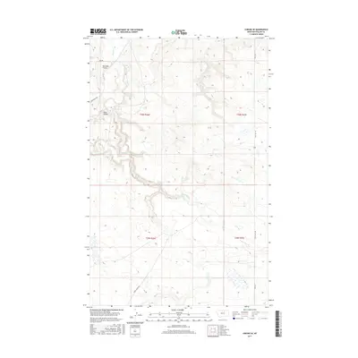
2017 Map of Coburg SE
USGS Topo · Published 2017About this map
Peoples Cr and its associated drainage network define the northern landscape of this region, where the terrain is marked by distinctive topographical features like Box Elder Coulee and Kuhr Coulee. The map illustrates a rural area of Phillips County where the natural hydrography of the N Fork Mud Cr and Mud Cr creates a complex system of seasonal watercourses. Transportation in this part of Montana is dictated by a few primary routes, including the historic path of Stage Coach Rd and the more modern Lodgepole Hwy. This 2017 survey provides a clear view of the public land survey system, including t30n r26e and t29n r27e, which remain vital for understanding property and land use in this open ranching country.
Find a feature on this map
16 named features on this map. Tap any name to fly to it.
Don’t see what you’re looking for? This feature index may not catch every label — zoom into the map to look around manually.
Map Details
Editions of this 2017 Coburg SE Map
This is the sole edition of this map. No revisions or reprints were ever made.
Other maps of this area

1953 · Havre
USGS Topo · 1:250,000

1957 · Havre
USGS Topo · 1:250,000

1958 · Havre
USGS Topo · 1:250,000

1964 · Coburg
USGS Topo · 1:24,000

1964 · Coburg SE
USGS Topo · 1:24,000

1964 · Weigand Reservoir
USGS Topo · 1:24,000

1964 · Dodson
USGS Topo · 1:24,000

1964 · Cow Creek
USGS Topo · 1:24,000

1964 · Dodson Dam
USGS Topo · 1:24,000

1965 · Wild Horse Reservoir
USGS Topo · 1:24,000