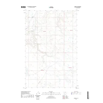
2020 Map of Coburg SE
USGS Topo · Published 2020About this map
Peoples Cr and its winding tributaries dominate this portion of the Phillips County landscape, illustrating a classic High Plains drainage system within the t30n r26e and t29n r27e township boundaries. The terrain is defined by natural erosional features such as Box Elder Coulee and Kuhr Coul, which carve through the plateau toward the larger creek beds.
Find a feature on this map
15 named features on this map. Tap any name to fly to it.
Don’t see what you’re looking for? This feature index may not catch every label — zoom into the map to look around manually.
Map Details
Editions of this 2020 Coburg SE Map
This is the sole edition of this map. No revisions or reprints were ever made.
Other maps of this area

1953 · Havre
USGS Topo · 1:250,000

1957 · Havre
USGS Topo · 1:250,000

1958 · Havre
USGS Topo · 1:250,000

1964 · Coburg
USGS Topo · 1:24,000

1964 · Coburg SE
USGS Topo · 1:24,000

1964 · Weigand Reservoir
USGS Topo · 1:24,000

1964 · Dodson
USGS Topo · 1:24,000

1964 · Cow Creek
USGS Topo · 1:24,000

1964 · Dodson Dam
USGS Topo · 1:24,000

1965 · Wild Horse Reservoir
USGS Topo · 1:24,000