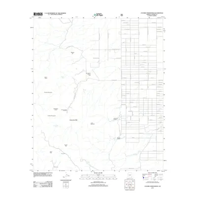
2012 Map of Cochise Stronghold
USGS Topo · Published 2012About this map
Arizona Sun Sites sits at the eastern edge of the Dragoon Mountains, where a rigid grid of residential streets like W Cochise Way and Quarterhorse Ave meets the dramatic verticality of the high desert peaks. This area serves as a focal point for the transition between the developed valley floor and the protected wilderness of the Cochise Stronghold. The map details the rugged topography leading up to Mount Glenn and Cochise Peak, illustrating how human infrastructure is constrained by the natural barriers of Grapevine Canyon and Noonan Canyon.
Find a feature on this map
94 named features on this map. Tap any name to fly to it.
Don’t see what you’re looking for? This feature index may not catch every label — zoom into the map to look around manually.
Map Details
Editions of this 2012 Cochise Stronghold Map
This is the sole edition of this map. No revisions or reprints were ever made.
Other maps of this area

1915 · Benson
USGS Topo · 1:125,000

1916 · Pearce
USGS Topo · 1:125,000

1922 · Willcox
USGS Topo · 1:125,000

1922 · St. David
USGS Topo · 1:62,500

1926 · Courtland
USGS Topo · 1:62,500

1943 · Benson
USGS Topo · 1:125,000

1943 · Cochise
USGS Topo · 1:62,500

1943 · Dragoon
USGS Topo · 1:62,500

1954 · Silver City
USGS Topo · 1:250,000

1955 · Douglas
USGS Topo · 1:250,000