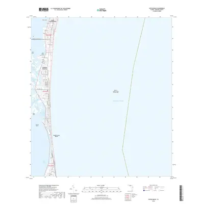
2018 Map of Cocoa Beach
USGS Topo · Published 2018About this map
Cape Canaveral and Cocoa Beach occupy the narrow barrier island between the Atlantic Ocean and the Indian River Lagoon in this modern topographic study. The map documents the dense residential development and street grids that define this coastal stretch, from South Cocoa Beach up to the northern reaches of the peninsula. Along the western shoreline, the intricate hydrology of the lagoon is visible, featuring names like Catfish Creek Houseboat Cut and Shortys Pocket.
Find a feature on this map
52 named features on this map. Tap any name to fly to it.
Don’t see what you’re looking for? This feature index may not catch every label — zoom into the map to look around manually.
Map Details
Editions of this 2018 Cocoa Beach Map
This is the sole edition of this map. No revisions or reprints were ever made.
Other maps of this area

1949 · Courtenay
USGS Topo · 1:24,000

1949 · Eau Gallie
USGS Topo · 1:24,000

1949 · Cocoa
USGS Topo · 1:24,000

1949 · Cocoa Beach
USGS Topo · 1:24,000

1949 · Tropic
USGS Topo · 1:24,000

1951 · Eau Gallie
USGS Topo · 1:24,000

1951 · Cocoa
USGS Topo · 1:24,000

1951 · Courtenay
USGS Topo · 1:24,000
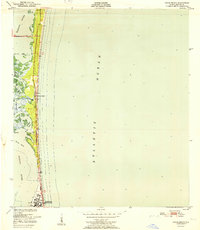
1951 · Cocoa Beach
USGS Topo · 1:24,000
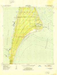
1951 · Cape Canaveral
USGS Topo · 1:24,000