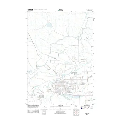
2012 Map of Cody
USGS Topo · Published 2012About this map
The Shoshone River carves through this high-plains landscape, serving as the central artery for a complex network of irrigation and water management essential to the region. The map documents an intricate system of waterways, including the Heart Mountain Canal, Cody Canal, and numerous numbered ditches like Ditch H-28, reflecting the agricultural engineering required for settlement. To the south, the terrain holds several significant water bodies such as Beck Lake, City Reservoir, and Alkali Lake, which sit adjacent to the expanding city footprint.
Find a feature on this map
136 named features on this map. Tap any name to fly to it.
Don’t see what you’re looking for? This feature index may not catch every label — zoom into the map to look around manually.
Map Details
Editions of this 2012 Cody Map
This is the sole edition of this map. No revisions or reprints were ever made.
Other maps of this area

1911 · Oregon Basin
USGS Topo · 1:62,500

1913 · Oregon Basin
USGS Topo · 1:62,500

1949 · Cody
USGS Topo · 1:62,500

1951 · Cody
USGS Topo · 1:62,500

1955 · Cody
USGS Topo · 1:250,000

1957 · Devils Tooth
USGS Topo · 1:62,500

1958 · Cody
USGS Topo · 1:250,000

1962 · Cody
USGS Topo · 1:250,000

1966 · Corbett Dam
USGS Topo · 1:24,000
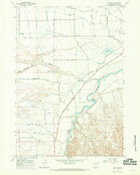
1966 · Vocation
USGS Topo · 1:24,000