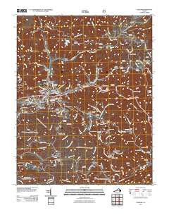
2011 Map of Coeburn
USGS Topo · Published 2011About this map
Coeburn serves as the central hub of this Appalachian landscape, where the confluence of several branches and creeks once dictated the growth of coal-era settlements. The terrain is marked by deep hollows and high ridges, including Guest Mountain and Sandy Ridge, which are pierced by engineering feats like the Little Tom Tunnel and Swede Tunnel. These passages illustrate the complex infrastructure required to navigate the mountain geography of Wise County.
Find a feature on this map
131 named features on this map. Tap any name to fly to it.
Don’t see what you’re looking for? This feature index may not catch every label — zoom into the map to look around manually.
Map Details
Editions of this 2011 Coeburn Map
This is the sole edition of this map. No revisions or reprints were ever made.
Other maps of this area

1886 · Grundy
USGS Topo · 1:125,000

1890 · Whitesburg
USGS Topo · 1:125,000

1890 · Grundy
USGS Topo · 1:125,000

1892 · Grundy
USGS Topo · 1:125,000

1892 · Whitesburg
USGS Topo · 1:125,000

1894 · Estillville
USGS Topo · 1:125,000

1897 · Bristol
USGS Topo · 1:125,000

1902 · Bristol
USGS Topo · 1:125,000

1912 · Pound
USGS Topo · 1:48,000

1913 · Clintwood
USGS Topo · 1:62,500