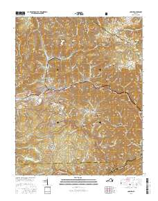
2016 Map of Coeburn
USGS Topo · Published 2016About this map
The town of Coeburn serves as a central hub in this rugged Appalachian landscape, where the Norfolk Southern rail line cuts through the ridges of the Jefferson National Forest. This 2016 survey illustrates the deep integration of infrastructure into the terrain, evidenced by the Little Tom Tunnel and Swede Tunnel required to navigate the area's steep relief. To the north, the Tennessee Valley Divide marks a significant hydrological boundary, separating the headwaters that flow toward the Tennessee River system.
Find a feature on this map
130 named features on this map. Tap any name to fly to it.
Don’t see what you’re looking for? This feature index may not catch every label — zoom into the map to look around manually.
Map Details
Editions of this 2016 Coeburn Map
This is the sole edition of this map. No revisions or reprints were ever made.
Other maps of this area

1886 · Grundy
USGS Topo · 1:125,000

1890 · Whitesburg
USGS Topo · 1:125,000

1890 · Grundy
USGS Topo · 1:125,000

1892 · Grundy
USGS Topo · 1:125,000

1892 · Whitesburg
USGS Topo · 1:125,000

1894 · Estillville
USGS Topo · 1:125,000

1897 · Bristol
USGS Topo · 1:125,000

1902 · Bristol
USGS Topo · 1:125,000

1912 · Pound
USGS Topo · 1:48,000

1913 · Clintwood
USGS Topo · 1:62,500