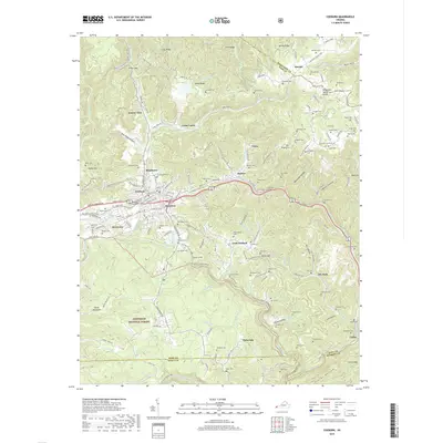
2019 Map of Coeburn
USGS Topo · Published 2019About this map
Coeburn and the surrounding coal country of Wise Co sit at a geographic crossroads where the Tennessee Valley Divide separates major watersheds. The landscape is defined by the steep relief of Guest Mtn and Sandy Ridge, with transportation routes following the narrow valleys carved by the Guest River. Engineering feats like the Little Tom Tunnel and Swede Tunnel facilitate movement through this difficult terrain. Family history is etched across the map in numerous burial grounds, including the Stallard Cem, Edwards Cem, and Kilgore Cem, reflecting the generations of families who settled in communities such as Bondtown, Banner, and Maytown. To the south, the Jefferson National Forest encompasses the deep Guest River Gorge, preserving a section of the Appalachian interior where the Clinch River and Little Stony Cr flow through the tri-county corner of Wise, Scott, and Russell.
Find a feature on this map
153 named features on this map. Tap any name to fly to it.
Don’t see what you’re looking for? This feature index may not catch every label — zoom into the map to look around manually.
Map Details
Editions of this 2019 Coeburn Map
This is the sole edition of this map. No revisions or reprints were ever made.
Other maps of this area

1886 · Grundy
USGS Topo · 1:125,000

1890 · Whitesburg
USGS Topo · 1:125,000

1890 · Grundy
USGS Topo · 1:125,000

1892 · Grundy
USGS Topo · 1:125,000

1892 · Whitesburg
USGS Topo · 1:125,000

1894 · Estillville
USGS Topo · 1:125,000

1897 · Bristol
USGS Topo · 1:125,000

1902 · Bristol
USGS Topo · 1:125,000

1912 · Pound
USGS Topo · 1:48,000

1913 · Clintwood
USGS Topo · 1:62,500