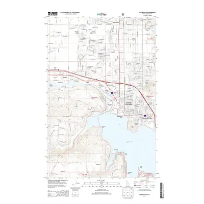
2013 Map of Coeur D'Alene
USGS Topo · Published 2013About this map
Coeur d'Alene and its surrounding communities sit at the critical junction where the Spokane River exits Coeur d'Alene Lake. This 2013 survey documents a complex landscape of established neighborhoods and specialized districts, from the residential blocks of Dalton Gardens and Hayden to the industrial and historical sites of Gibbs, Atlas, and Blackwell. The topography transitions from the open Rathdrum Prairie in the north to the distinctive shoreline points of Independence Point, Stevens Point, and Threemile Point in the south.
Find a feature on this map
78 named features on this map. Tap any name to fly to it.
Don’t see what you’re looking for? This feature index may not catch every label — zoom into the map to look around manually.
Map Details
Editions of this 2013 Coeur D'Alene Map
This is the sole edition of this map. No revisions or reprints were ever made.
Other maps of this area

1903 · Rathdrum
USGS Topo · 1:125,000

1955 · Spokane
USGS Topo · 1:250,000

1957 · Coeur D'Alene
USGS Topo · 1:62,500

1957 · Lane
USGS Topo · 1:62,500

1958 · Spokane
USGS Topo · 1:250,000

1961 · Hayden
USGS Topo · 1:24,000

1961 · Rathdrum
USGS Topo · 1:24,000

1961 · Spirit Lake
USGS Topo · 1:62,500

1961 · Athol
USGS Topo · 1:62,500

1961 · Hayden Lake
USGS Topo · 1:24,000