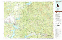
1987 Map of Coeur D'Alene
USGS Topo · Published 1987About this map
The Coeur d'Alene Mountains and the Bitterroot Range dominate this northern Idaho landscape, where the confluence of the Spokane River and Coeur d'Alene Lake meets the expansive Rathdrum Prairie. This 1987 survey details a region defined by its timber and mineral wealth, as evidenced by the Sunshine Mine and Bradbury Mine in the east. The map shows the suburban expansion of Coeur D'Alene and Post Falls alongside more traditional settlements like Athol, Cataldo, and Kingston.
Find a feature on this map
240 named features on this map. Tap any name to fly to it.
Don’t see what you’re looking for? This feature index may not catch every label — zoom into the map to look around manually.
Map Details
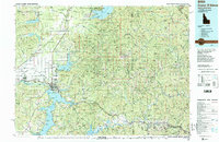
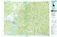
Editions of this 1987 Coeur D'Alene Map
3 editions found
Other maps of this area

1901 · Sandpoint
USGS Topo · 1:125,000

1901 · Spokane
USGS Topo · 1:125,000

1901 · Coeur D'Alene District
USGS Topo · 1:62,500

1903 · Oakesdale
USGS Topo · 1:125,000

1903 · Rathdrum
USGS Topo · 1:125,000

1903 · Coeur D'Alene District
USGS Topo · 1:62,500

1905 · Oakesdale
USGS Topo · 1:125,000

1906 · Coeur D'Alene District
USGS Topo · 1:62,500

1909 · Cataldo
USGS Topo · 1:125,000

1911 · Cataldo
USGS Topo · 1:125,000