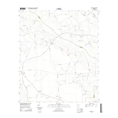
2014 Map of Coffee
USGS Topo · Published 2014About this map
Big Satilla Creek defines the northern reaches of this landscape, carving a boundary between Appling and Bacon counties in this southeastern Georgia survey. The rural character of the region is evident in the small, dispersed settlements of New Lacy, Lambright, and Coffee, which are connected by a network of local routes such as Ga-32 and Scuffletown Highway. The area is notably dotted with community burial grounds, including Antioch Cemetery and Wesley Chapel Cemetery, which often serve as the primary landmarks for local genealogy and historical family research.
Find a feature on this map
107 named features on this map. Tap any name to fly to it.
Don’t see what you’re looking for? This feature index may not catch every label — zoom into the map to look around manually.
Map Details
Editions of this 2014 Coffee Map
This is the sole edition of this map. No revisions or reprints were ever made.
Other maps of this area

1953 · Waycross
USGS Topo · 1:250,000

1958 · Waycross
USGS Topo · 1:250,000

1971 · Surrency
USGS Topo · 1:24,000

1971 · Coffee
USGS Topo · 1:24,000

1971 · K'ville
USGS Topo · 1:24,000

1971 · Alma NW
USGS Topo · 1:24,000

1971 · Patterson
USGS Topo · 1:24,000

1971 · Alma
USGS Topo · 1:24,000

1971 · Mershon
USGS Topo · 1:24,000
1971 · Alma NE
USGS Topo · 1:24,000