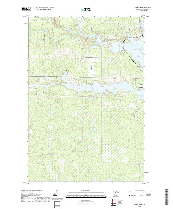
2022 Map of Coffee Creek
USGS Topo · Published 2022About this map
The Spirit River Flowage and Lake Mohawksin dominate the landscape surrounding Tomahawk, where the convergence of the Somo River and Spirit River creates an intricate network of waterways and wetlands. This area of Lincoln County is defined by its extensive flowages and the timber-industry heritage reflected in nearby West Kraft and the Jersey City Flowage. The map details the transition from the city center to the rural expanses and forest land to the south, marked by family-named roads like Wagner Rd and Jaecks Rd. Modern infrastructure like the Tomahawk Regional Airport sits alongside the winding course of Coffee Creek and Armstrong Cr, illustrating how the mid-century development of this northwoods hub has balanced transportation needs with its complex aquatic geography.
Find a feature on this map
62 named features on this map. Tap any name to fly to it.
Don’t see what you’re looking for? This feature index may not catch every label — zoom into the map to look around manually.
Map Details
Editions of this 2022 Coffee Creek Map
This is the sole edition of this map. No revisions or reprints were ever made.
Other maps of this area

1939 · Mc Cord
USGS Topo · 1:48,000

1939 · Cassian
USGS Topo · 1:48,000

1942 · Cassian
USGS Topo · 1:48,000

1947 · Mc Cord
USGS Topo · 1:48,000

1950 · Tomahawk
USGS Topo · 1:48,000

1950 · Spirit Falls
USGS Topo · 1:48,000

1952 · Spirit Falls
USGS Topo · 1:48,000

1952 · Tomahawk
USGS Topo · 1:48,000

1954 · Iron Mountain
USGS Topo · 1:250,000

1959 · Iron Mountain
USGS Topo · 1:250,000