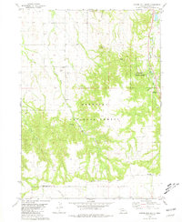
1980 Map of Coffee Mill Butte
USGS Topo · Published 1981About this map
Chadron State Park and the rugged Pine Ridge terrain of the Nebraska National Forest anchor this 1980 survey of Dawes County. The landscape is defined by its dramatic buttes and canyon systems, including Coffee Mill Butte, Flannigan Butte, and Rattlesnake Butte, alongside the winding drainages of Dead Horse Creek and W Fk Chadron Cr. This map captures a rural landscape where social and educational infrastructure was tied to the land's topography, evidenced by the Flag Butte Sch and Open Door Ch.
Find a feature on this map
24 named features on this map. Tap any name to fly to it.
Don’t see what you’re looking for? This feature index may not catch every label — zoom into the map to look around manually.
Map Details
Editions of this 1980 Coffee Mill Butte Map
This is the sole edition of this map. No revisions or reprints were ever made.
Other maps of this area

1955 · Alliance
USGS Topo · 1:250,000

1957 · Alliance
USGS Topo · 1:250,000

1958 · Alliance
USGS Topo · 1:250,000
1966 · Chadron 3 SW
USGS Topo · 1:24,000

1970 · Chadron 3 NW
USGS Topo · 1:24,000
1970 · Chadron East
USGS Topo · 1:24,000
1980 · Coffee Mill Butte SE
USGS Topo · 1:24,000
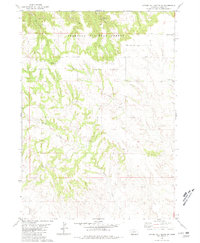
1980 · Coffee Mill Butte SW
USGS Topo · 1:24,000
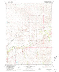
1980 · Trunk Butte
USGS Topo · 1:24,000
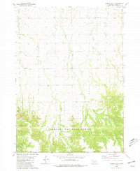
1980 · Chimney Butte
USGS Topo · 1:24,000