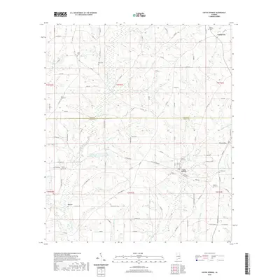
2020 Map of Coffee Springs
USGS Topo · Published 2020About this map
Coffee Springs serves as the central hub of this South Alabama survey, situated just below the boundary line between Coffee and Geneva counties. The town is surrounded by a network of rural settlements and agricultural lands, with Chancellor and Central City marking the eastern and northern reaches of the quadrangle. Genealogists will find a high concentration of burial sites throughout the landscape, including the Moore Cem, Mount Carmel Cem, and El Bethel Cem, often situated near small community nodes like Spears.
Find a feature on this map
111 named features on this map. Tap any name to fly to it.
Don’t see what you’re looking for? This feature index may not catch every label — zoom into the map to look around manually.
Map Details
Editions of this 2020 Coffee Springs Map
This is the sole edition of this map. No revisions or reprints were ever made.
Other maps of this area

1942 · Enterprise
USGS Topo · 1:125,000

1950 · Enterprise
USGS Topo · 1:62,500

1953 · Andalusia
USGS Topo · 1:250,000

1953 · Dothan
USGS Topo · 1:250,000

1954 · Dothan
USGS Topo · 1:250,000

1955 · Dothan
USGS Topo · 1:250,000

1957 · Andalusia
USGS Topo · 1:250,000

1957 · Geneva
USGS Topo · 1:62,500

1957 · Bellwood
USGS Topo · 1:24,000
1957 · Geneva West
USGS Topo · 1:24,000