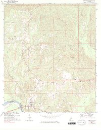
1971 Map of Coffeeville
USGS Topo · Published 1983About this map
The Tombigbee River forms the western boundary of this territory in Clarke County, defining the local geography through its landings and floodplains. Just east of the river, the settlement of Coffeeville sits as a central hub, supported by a High Sch and several Cem sites. The landscape is deeply dissected by a network of drainage systems, including Uleanush Creek, Toland Creek, and Mill Creek, which flow through the timbered hills toward the river valley.
Find a feature on this map
44 named features on this map. Tap any name to fly to it.
Don’t see what you’re looking for? This feature index may not catch every label — zoom into the map to look around manually.
Map Details
Editions of this 1971 Coffeeville Map
2 editions found
Other maps of this area

1953 · Andalusia
USGS Topo · 1:250,000

1953 · Hattiesburg
USGS Topo · 1:250,000

1957 · Andalusia
USGS Topo · 1:250,000

1958 · Hattiesburg
USGS Topo · 1:250,000

1971 · Coffeeville
USGS Topo · 1:24,000

1971 · Ararat
USGS Topo · 1:24,000

1971 · Bladon Springs
USGS Topo · 1:24,000

1971 · Coffeeville Lock And Dam
USGS Topo · 1:24,000

1972 · Tattlersville
USGS Topo · 1:24,000

1972 · Woods Bluff
USGS Topo · 1:24,000