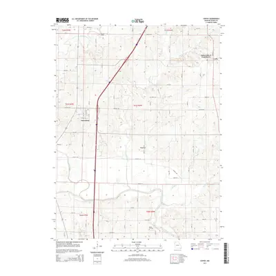
2014 Map of Coffey
USGS Topo · Published 2014About this map
The Grand River and its numerous tributaries, including Hog Cr and Cypress Cr, define the drainage patterns of northern Daviess County. The settlement of Pattonsburg serves as a primary hub in the western portion of the sheet, while the village of Coffey anchors the northeastern corner. This 2014 survey documents the modern layout of the rural landscape, where established landmarks like the Mooney Bridge and Waters Cemetery represent long-standing points of interest for local researchers.
Find a feature on this map
36 named features on this map. Tap any name to fly to it.
Don’t see what you’re looking for? This feature index may not catch every label — zoom into the map to look around manually.
Map Details
Editions of this 2014 Coffey Map
This is the sole edition of this map. No revisions or reprints were ever made.
Other maps of this area

1922 · Gallatin
USGS Topo · 1:62,500

1924 · Winston
USGS Topo · 1:62,500

1925 · Pattonsburg
USGS Topo · 1:62,500

1925 · Gilman
USGS Topo · 1:62,500

1944 · Pattonsburg
USGS Topo · 1:62,500

1946 · Gilman
USGS Topo · 1:48,000

1946 · Pattonsburg
USGS Topo · 1:48,000

1948 · Gilman
USGS Topo · 1:62,500

1948 · Pattonsburg
USGS Topo · 1:62,500

1950 · Kansas City
USGS Topo · 1:250,000