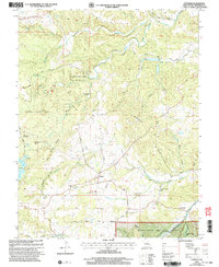
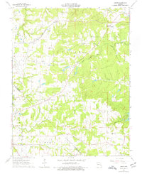
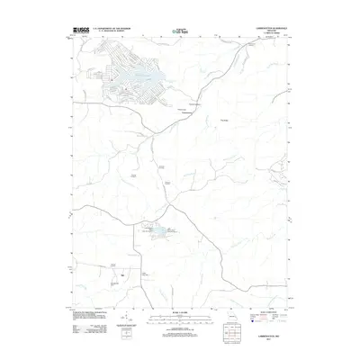
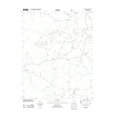
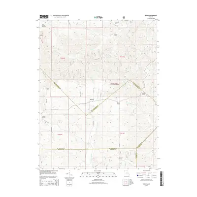
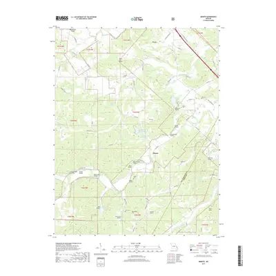
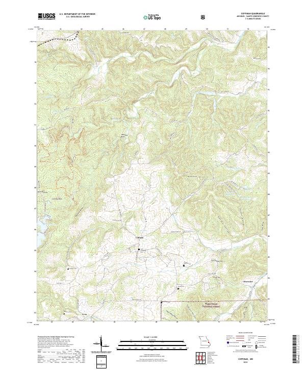
2002 Map of Coffman
USGS Topo · Published 2003About this map
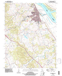
Hawn State Park and the Mark Twain National Forest dominate this section of Ste. Genevieve County, where the landscape is defined by the sharp relief of Wild Hog Bluff, Beehive Knob, and Chimney Rock. The rural community of Coffman serves as a central point for local genealogy, featuring the Coffman Sch and nearby Cem markers.
Find a feature on this map
50 named features on this map. Tap any name to fly to it.
Don’t see what you’re looking for? This feature index may not catch every label — zoom into the map to look around manually.
Map Details
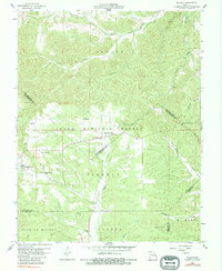
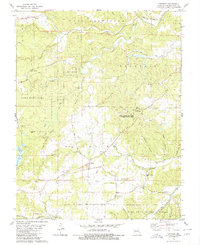
Editions of this 2002 Coffman Map
This is the sole edition of this map. No revisions or reprints were ever made.
Historical Maps of Clearwater Through Time
39 maps found
1959 Womack
Ste. Genevieve County, MO
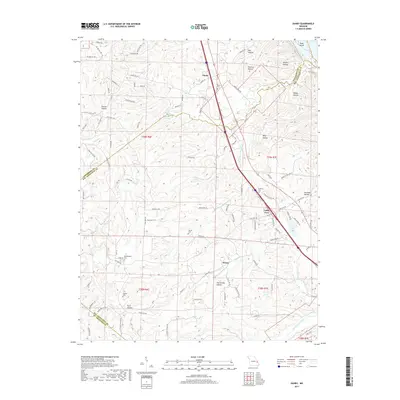
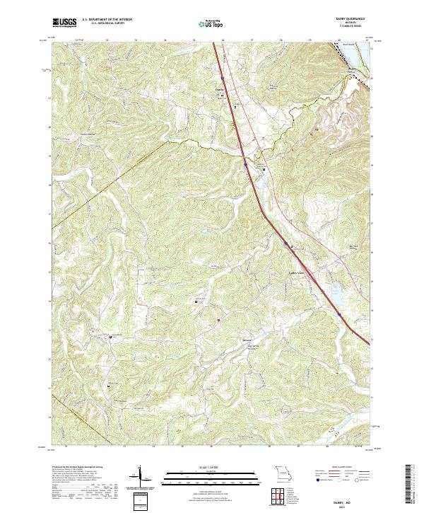
1964 Danby
Ste. Genevieve County, MO
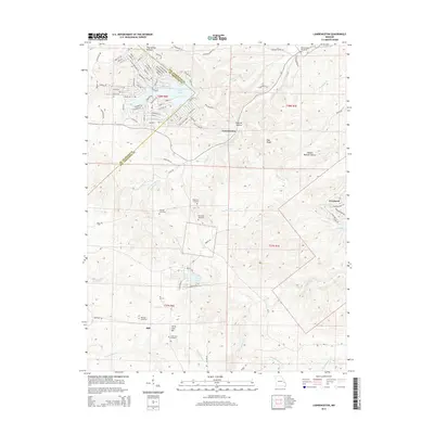
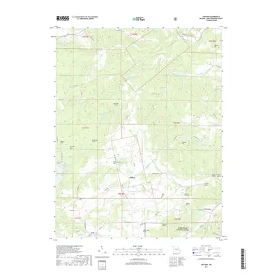
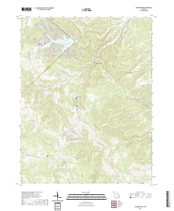
1964 Lawrenceton
Ste. Genevieve County, MO
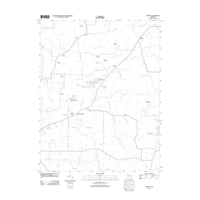
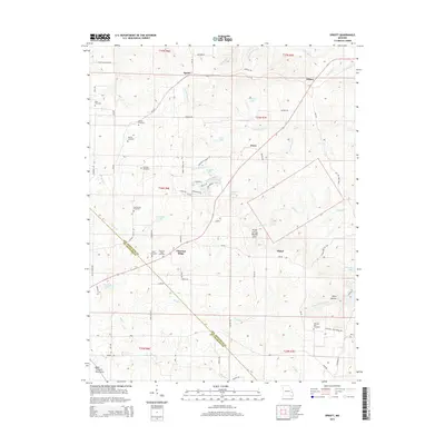
1964 Sprott
Ste. Genevieve County, MO
1980 Coffman
Ste. Genevieve County, MO
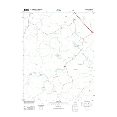
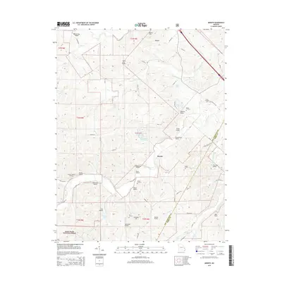
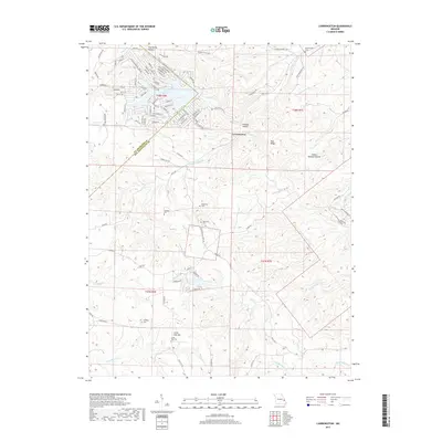
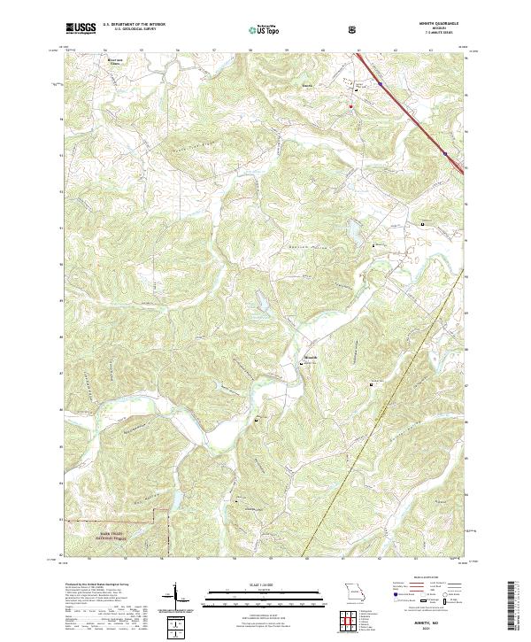
1980 Minnith
Ste. Genevieve County, MO
1993 Danby
Ste. Genevieve County, MO
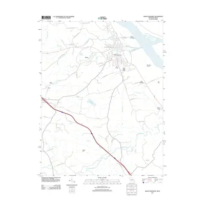
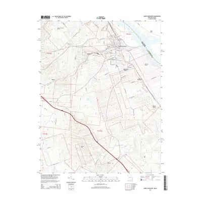
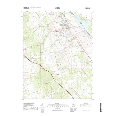
1993 Ste Genevieve
Ste. Genevieve County, MO
2000 Minnith
Ste. Genevieve County, MO
2000 Womack
Ste. Genevieve County, MO
2002 Coffman
Ste. Genevieve County, MO
2011 Coffman
Ste. Genevieve County, MO
2011 Lawrenceton
Ste. Genevieve County, MO
2011 Minnith
Ste. Genevieve County, MO
2011 Sainte Genevieve
Ste. Genevieve County, MO
2011 Sprott
Ste. Genevieve County, MO
2011 Womack
Ste. Genevieve County, MO
2012 Danby
Ste. Genevieve County, MO
2015 Coffman
Ste. Genevieve County, MO
2015 Danby
Ste. Genevieve County, MO
2015 Lawrenceton
Ste. Genevieve County, MO
2015 Minnith
Ste. Genevieve County, MO
2015 Sainte Genevieve
Ste. Genevieve County, MO
2015 Sprott
Ste. Genevieve County, MO
2015 Womack
Ste. Genevieve County, MO
2017 Coffman
Ste. Genevieve County, MO
2017 Danby
Ste. Genevieve County, MO
2017 Lawrenceton
Ste. Genevieve County, MO
2017 Minnith
Ste. Genevieve County, MO
2017 Sainte Genevieve
Ste. Genevieve County, MO
2017 Sprott
Ste. Genevieve County, MO
2017 Womack
Ste. Genevieve County, MO
2021 Coffman
Ste. Genevieve County, MO
2021 Danby
Ste. Genevieve County, MO
2021 Lawrenceton
Ste. Genevieve County, MO
2021 Minnith
Ste. Genevieve County, MO
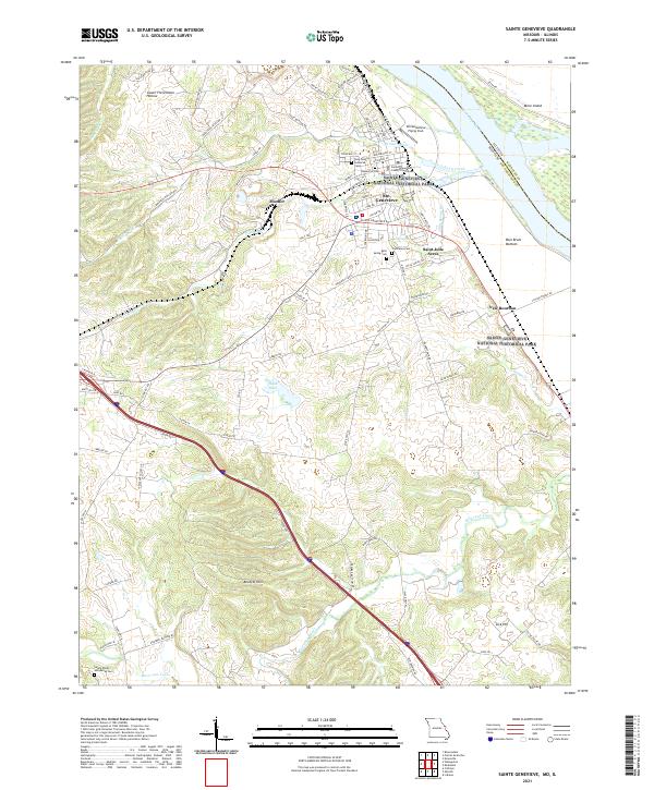
2021 Sainte Genevieve
Ste. Genevieve County, MO
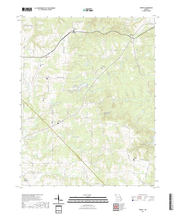
2021 Sprott
Ste. Genevieve County, MO
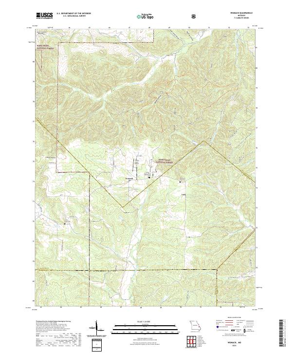
2021 Womack
Ste. Genevieve County, MO