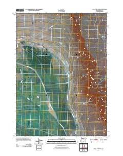
2011 Map of Coglan Buttes
USGS Topo · Published 2011About this map
Upper Chewaucan Marsh dominates the western portion of this landscape, reflecting the intricate water management required for agriculture in this high desert region. The Chewaucan River flows through a network of artificial waterways, including the Outside Canal, Red House Ditch, and Stock Ditch, which support the ranching operations established here. Human activity is centered on the historic ZX Ranch Red House and the ZX Ranch Grain Camp, showcasing the specialized infrastructure of large-scale livestock operations. To the east, the terrain rises abruptly toward Coglan Buttes and the depths of Coglan Canyon, where the topography transitions from managed wetlands to volcanic uplands. Minor landmarks like Chinatown Pump and Shores Waterhole indicate the critical importance of specific water points in an otherwise arid environment.
Find a feature on this map
14 named features on this map. Tap any name to fly to it.
Don’t see what you’re looking for? This feature index may not catch every label — zoom into the map to look around manually.
Map Details
Editions of this 2011 Coglan Buttes Map
This is the sole edition of this map. No revisions or reprints were ever made.
Other maps of this area

1955 · Klamath Falls
USGS Topo · 1:250,000

1958 · Klamath Falls
USGS Topo · 1:250,000

1966 · Coglan Buttes NE
USGS Topo · 1:24,000

1966 · Morgan Butte
USGS Topo · 1:24,000

1966 · Tucker Hill
USGS Topo · 1:24,000

1966 · Coglan Buttes SE
USGS Topo · 1:24,000

1966 · Coglan Buttes
USGS Topo · 1:24,000

1966 · Paisley
USGS Topo · 1:24,000

1974 · Lake Abert
USGS Topo · 1:100,000

1985 · Sharp Top
USGS Topo · 1:24,000