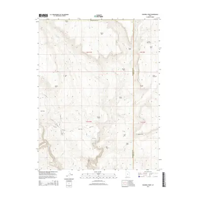
2014 Map of Cogswell Point
USGS Topo · Published 2014About this map
Miners Peak and Thorley Point anchor the high elevations of this Washington County landscape, where the terrain drops sharply into deep drainages and canyons. The 2014 survey reveals a transition from these prominent peaks down toward the Virgin Flats and the residential infrastructure developing along the western edge of the quadrangle. Local road names like Oak Valley Rd, Fitzwater Dr, and Oak Tree Dr mark the spread of settlement into the plateau, contrasting with the untouched expanses of Box Canyon and Corral Canyon. Water sources such as Crystal Cr and Deep Cr cut through the high country, creating geographic boundaries that separate the numerous named knolls and gulches, including the distinctive Volcano Knoll and the namesake Cogswell Point on the eastern boundary with Kane County.
Find a feature on this map
34 named features on this map. Tap any name to fly to it.
Don’t see what you’re looking for? This feature index may not catch every label — zoom into the map to look around manually.
Map Details
Editions of this 2014 Cogswell Point Map
This is the sole edition of this map. No revisions or reprints were ever made.
Other maps of this area

1885 · St. George
USGS Topo · 1:250,000

1886 · Kanab
USGS Topo · 1:250,000

1891 · St. George
USGS Topo · 1:250,000

1950 · Cedar City
USGS Topo · 1:62,500

1950 · Cedar Mountain
USGS Topo · 1:24,000

1952 · Cedar Mountain
USGS Topo · 1:24,000

1953 · Cedar City
USGS Topo · 1:250,000

1954 · Orderville Canyon NW
USGS Topo · 1:24,000

1954 · Orderville Canyon SE
USGS Topo · 1:24,000

1957 · Orderville Canyon NE
USGS Topo · 1:24,000