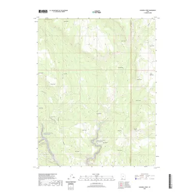
2020 Map of Cogswell Point
USGS Topo · Published 2020About this map
The Virgin Wild and Scenic River carves a dramatic course through this portion of the Washington and Kane county line, anchoring a landscape of named flats and high points. Modern residential development is concentrated in Oak Valley, where a network of local roads including Oak Valley Rd and Oak Tree Dr provides access to the higher terrain. This area is defined by its verticality, transitioning from the floor of Box Canyon and the riparian corridor of Crystal Cr to prominent summits like Miners Peak and Thorley Point. Land use patterns here emphasize the preservation of the river corridor, while the naming of features such as Virgin Flats, Burnt Flat, and Hogs Heaven reflects a long history of local geographic identification in this southwestern corner of Utah.
Find a feature on this map
30 named features on this map. Tap any name to fly to it.
Don’t see what you’re looking for? This feature index may not catch every label — zoom into the map to look around manually.
Map Details
Editions of this 2020 Cogswell Point Map
This is the sole edition of this map. No revisions or reprints were ever made.
Other maps of this area

1885 · St. George
USGS Topo · 1:250,000

1886 · Kanab
USGS Topo · 1:250,000

1891 · St. George
USGS Topo · 1:250,000

1950 · Cedar City
USGS Topo · 1:62,500

1950 · Cedar Mountain
USGS Topo · 1:24,000

1952 · Cedar Mountain
USGS Topo · 1:24,000

1953 · Cedar City
USGS Topo · 1:250,000

1954 · Orderville Canyon NW
USGS Topo · 1:24,000

1954 · Orderville Canyon SE
USGS Topo · 1:24,000

1957 · Orderville Canyon NE
USGS Topo · 1:24,000