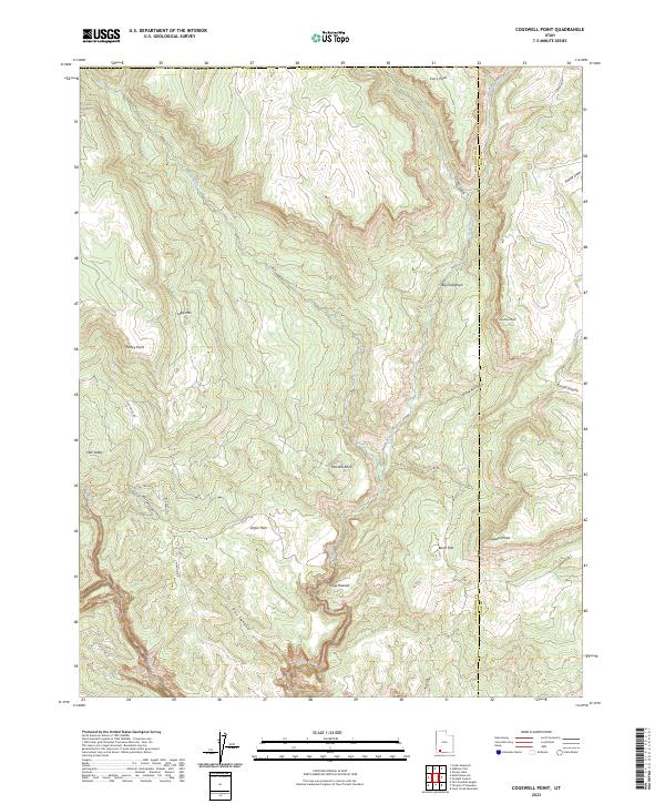
2023 Map of Cogswell Point
USGS Topo · Published 2023About this map
Oak Valley and Virgin Flats occupy a landscape defined by dramatic elevation changes along the border of Washington and Kane Counties. This modern survey illustrates the protected expanse of the Deep Creek North Wilderness, where the terrain drops sharply into Box Canyon and Big-Oak-Wash. Named peaks such as Miners Peak and Thorley Point overlook a network of seasonal drainages including Spring Run Gulch and O'Neil Gulch. The map records specific residential and named areas like Hogs Heaven and Burnt Flat, alongside access points such as Oak Valley Rd and Fitzwater Dr. The intersection of high-altitude points like Cogswell Point and the deep incisions of Crystal Creek highlights the complex geological character of this corner of Utah.
Find a feature on this map
33 named features on this map. Tap any name to fly to it.
Don’t see what you’re looking for? This feature index may not catch every label — zoom into the map to look around manually.
Map Details
Editions of this 2023 Cogswell Point Map
This is the sole edition of this map. No revisions or reprints were ever made.
Other maps of this area

1885 · St. George
USGS Topo · 1:250,000

1886 · Kanab
USGS Topo · 1:250,000

1891 · St. George
USGS Topo · 1:250,000

1950 · Cedar City
USGS Topo · 1:62,500

1950 · Cedar Mountain
USGS Topo · 1:24,000

1952 · Cedar Mountain
USGS Topo · 1:24,000

1953 · Cedar City
USGS Topo · 1:250,000

1954 · Orderville Canyon NW
USGS Topo · 1:24,000

1954 · Orderville Canyon SE
USGS Topo · 1:24,000

1957 · Orderville Canyon NE
USGS Topo · 1:24,000