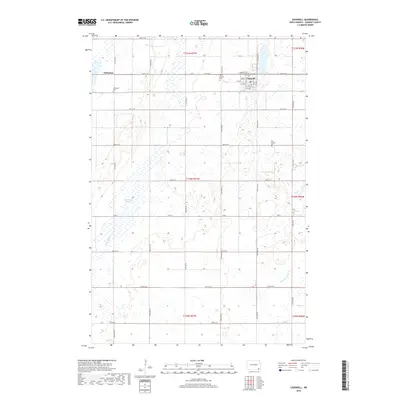
2018 Map of Cogswell
USGS Topo · Published 2018About this map
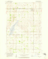
The prairie town of Cogswell serves as the central hub for this Sargent County landscape, where a grid of rural section lines meets a network of water and wetlands. The settlement's street plan, featuring Prospect Ave and numbered avenues from 1st Ave through 7th Ave, reflects a structured layout typical of Great Plains agricultural centers. Outside the town limits, the terrain is characterized by numerous glacial depressions, including Meszaros Slough and the winding course of the Wild Rice River in the southeast.
Find a feature on this map
30 named features on this map. Tap any name to fly to it.
Don’t see what you’re looking for? This feature index may not catch every label — zoom into the map to look around manually.
Map Details
Editions of this 2018 Cogswell Map
This is the sole edition of this map. No revisions or reprints were ever made.
Other maps of this area
1952 · Crete
USGS Topo · 1:24,000
1953 · Kidder
USGS Topo · 1:24,000
1953 · Newark
USGS Topo · 1:24,000
1953 · Milbank
USGS Topo · 1:250,000

1953 · Fargo
USGS Topo · 1:250,000

1956 · Fargo
USGS Topo · 1:250,000
1956 · Straubville
USGS Topo · 1:24,000
1956 · Newark NW
USGS Topo · 1:24,000
1957 · Stirum
USGS Topo · 1:24,000
1957 · Cogswell
USGS Topo · 1:24,000