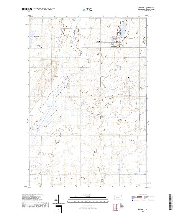
2024 Map of Cogswell
USGS Topo · Published 2024About this map
Cogswell and Nicholson anchor this corner of the Dakota plains, where the landscape is defined by the high density of prairie potholes and the conservation efforts of the Sargent County Waterfowl Production Area. The grid of section roads, including Co Rd 3 and 121st Ave SE, crisscrosses a terrain dominated by glacial wetlands like Meszaros Slough. For those looking into local lineage, the map provides precise locations for three distinct burial grounds: Mount Calvary Cem just outside Cogswell, Nicholson Cem, and the Old Sargent Cem to the southeast. Water management is evident through the engineered Ditch Number 11, which feeds toward the Wild Rice River in the southern reaches of the quadrangle.
Find a feature on this map
35 named features on this map. Tap any name to fly to it.
Don’t see what you’re looking for? This feature index may not catch every label — zoom into the map to look around manually.
Map Details
Editions of this 2024 Cogswell Map
This is the sole edition of this map. No revisions or reprints were ever made.
