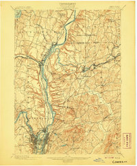
1898 Map of Cohoes
USGS Topo · Published 1907About this map
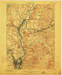
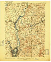
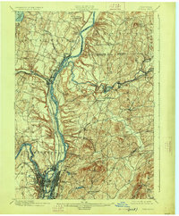
The confluence of the Mohawk River and the Hudson River defines this industrial and transport corridor at the end of the 19th century. This area served as a critical nexus for North American commerce, where the Erie Canal met the Champlain Canal near Cohoes and Waterford. The landscape is etched with the paths of multiple rail lines, including the Delaware and Hudson R.R. and the Fitchburg R.R., which connected manufacturing centers like Mechanicville and Lansingburg to broader markets.
Find a feature on this map
69 named features on this map. Tap any name to fly to it.
Don’t see what you’re looking for? This feature index may not catch every label — zoom into the map to look around manually.
Map Details
Editions of this 1898 Cohoes Map
8 editions found

Other maps of this area

1888 · Berlin
USGS Topo · 1:62,500

1890 · Berlin
USGS Topo · 1:62,500

1893 · Cohoes
USGS Topo · 1:62,500

1893 · Troy
USGS Topo · 1:62,500

1893 · Schenectady
USGS Topo · 1:62,500

1893 · Albany
USGS Topo · 1:62,500

1894 · Berlin
USGS Topo · 1:62,500

1895 · Troy
USGS Topo · 1:62,500

1895 · Cohoes
USGS Topo · 1:62,500

1895 · Albany
USGS Topo · 1:62,500