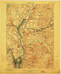
1898 Map of Cohoes
USGS Topo · Published 1912About this map
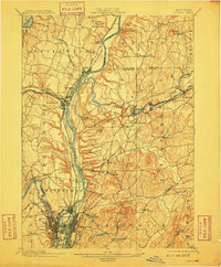
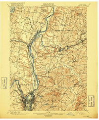
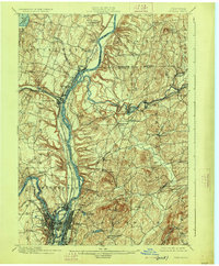
The Saratoga Battlefield and the northern reaches of the Capital District define this landscape at the close of the 19th century. Concentrated industrial and transport hubs like Cohoes, Lansingburg, and Green Island cluster at the confluence of the Hudson River and Mohawk River. The intricate water-level infrastructure is visible in the paths of the Champlain Canal and Erie Canal, which run parallel to the rivers, supporting a dense network of river-town commerce.
Find a feature on this map
64 named features on this map. Tap any name to fly to it.
Don’t see what you’re looking for? This feature index may not catch every label — zoom into the map to look around manually.
Map Details
Editions of this 1898 Cohoes Map
8 editions found

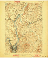
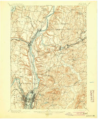
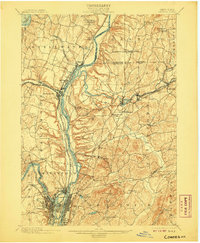
Other maps of this area

1888 · Berlin
USGS Topo · 1:62,500

1890 · Berlin
USGS Topo · 1:62,500

1893 · Cohoes
USGS Topo · 1:62,500

1893 · Troy
USGS Topo · 1:62,500

1893 · Schenectady
USGS Topo · 1:62,500

1893 · Albany
USGS Topo · 1:62,500

1894 · Berlin
USGS Topo · 1:62,500

1895 · Troy
USGS Topo · 1:62,500

1895 · Cohoes
USGS Topo · 1:62,500

1895 · Albany
USGS Topo · 1:62,500