
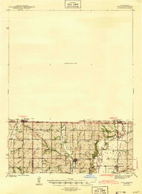
1943 Map of Coin
USGS Topo · Published 1943About this map
The Iowa-Missouri borderlands are defined by the winding paths of the Nodaway River and Tarkio River in this 1940 survey. Small agricultural settlements like Blanchard, Braddyville, and Elmo serve as the primary hubs for a rural landscape densely populated with one-room schoolhouses and country churches. Educational life is documented through numerous sites including Hazel Grove School, Eureka School, and Maple Lawn School, while local spiritual centers like White Chapel and the White Lily church provided community anchors during the early 1940s.
Find a feature on this map
37 named features on this map. Tap any name to fly to it.
Don’t see what you’re looking for? This feature index may not catch every label — zoom into the map to look around manually.
Map Details
Editions of this 1943 Coin Map
2 editions found
Other maps of this area

1939 · Tarkio
USGS Topo · 1:62,500

1939 · Farragut
USGS Topo · 1:62,500

1939 · Skidmore
USGS Topo · 1:62,500

1940 · Tarkio
USGS Topo · 1:62,500

1940 · Farragut
USGS Topo · 1:62,500

1940 · Coin
USGS Topo · 1:62,500

1940 · New Market
USGS Topo · 1:62,500

1941 · Tarkio
USGS Topo · 1:62,500

1941 · Skidmore
USGS Topo · 1:62,500

1942 · Skidmore
USGS Topo · 1:62,500