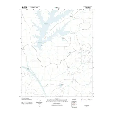
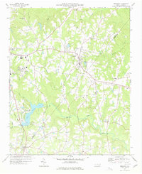
2010 Map of Cokesbury
USGS Topo · Published 2010About this map
Hollemans Crossroads and Cokesbury anchor this region of central North Carolina, where the landscape is defined by the winding course of the Cape Fear River and the significant footprint of the Shearon Harris Reservoir. The topography is marked by numerous water control projects, including Buckhorn Dam and the smaller Dewars Pond, reflecting a mid-to-late 20th-century emphasis on hydroelectric infrastructure and water management.
Find a feature on this map
60 named features on this map. Tap any name to fly to it.
Don’t see what you’re looking for? This feature index may not catch every label — zoom into the map to look around manually.
Map Details
Editions of this 2010 Cokesbury Map
This is the sole edition of this map. No revisions or reprints were ever made.
Other maps of this area

1953 · Raleigh
USGS Topo · 1:250,000

1954 · Raleigh
USGS Topo · 1:250,000

1969 · New Hope Dam
USGS Topo · 1:24,000

1970 · Moncure
USGS Topo · 1:24,000

1974 · Apex
USGS Topo · 1:24,000
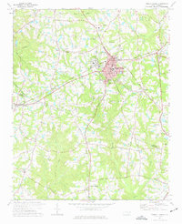
1974 · Fuquay-Varina
USGS Topo · 1:24,000
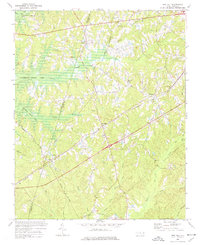
1974 · New Hill
USGS Topo · 1:24,000

1974 · Mamers
USGS Topo · 1:24,000
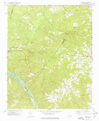
1974 · Cokesbury
USGS Topo · 1:24,000
1977 · Broadway
USGS Topo · 1:24,000