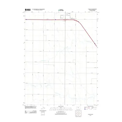
2012 Map of Colby SE
USGS Topo · Published 2012About this map
The Colby urban fringe and the surrounding agricultural expanses of Thomas County define this 2012 survey. Located at the intersection of major transport routes, the southeastern portion of the city includes a mix of residential streets like Davis Ave and Sewell Ave, alongside specialized sites like Bourquin's Recreational Vehicle Park. This map provides a clear look at the transitional zone where the high plains grid meets the natural drainage systems of the region.
Find a feature on this map
26 named features on this map. Tap any name to fly to it.
Don’t see what you’re looking for? This feature index may not catch every label — zoom into the map to look around manually.
Map Details
Editions of this 2012 Colby SE Map
This is the sole edition of this map. No revisions or reprints were ever made.
Other maps of this area

1943 · Colby
USGS Topo · 1:62,500

1954 · Goodland
USGS Topo · 1:250,000

1956 · Goodland
USGS Topo · 1:250,000

1957 · Goodland
USGS Topo · 1:250,000

1967 · Colby SE
USGS Topo · 1:24,000

1967 · Levant
USGS Topo · 1:24,000

1967 · Colby SW
USGS Topo · 1:24,000

1967 · Colby
USGS Topo · 1:24,000

1972 · Winona NE
USGS Topo · 1:24,000
1972 · Winona NW
USGS Topo · 1:24,000