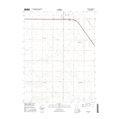
2015 Map of Colby SE
USGS Topo · Published 2015About this map
Colby serves as the focal point of this western Kansas landscape, where the High Plains terrain is etched by the meandering paths of two major prairie waterways. The N Fork Solomon River cuts diagonally across the central sections, while the S Fork Solomon River flows through the southern reaches. This 2015 survey illustrates a highly organized agricultural grid, with named section lines like Co Rd Q and Co Rd N defining the territory. Within the settlement of Colby, the local road network becomes denser, featuring thoroughfares such as S Range Ave and S Franklin Ave. The map provides a clear look at the intersection of modern transportation corridors and the natural hydrology of Thomas County, showing how the local street grid of Horton Ave and Maple St transitions into the expansive township and range divisions of t8s r34w and t9s r33w.
Find a feature on this map
22 named features on this map. Tap any name to fly to it.
Don’t see what you’re looking for? This feature index may not catch every label — zoom into the map to look around manually.
Map Details
Editions of this 2015 Colby SE Map
This is the sole edition of this map. No revisions or reprints were ever made.
Other maps of this area

1943 · Colby
USGS Topo · 1:62,500

1954 · Goodland
USGS Topo · 1:250,000

1956 · Goodland
USGS Topo · 1:250,000

1957 · Goodland
USGS Topo · 1:250,000

1967 · Colby SE
USGS Topo · 1:24,000

1967 · Levant
USGS Topo · 1:24,000

1967 · Colby SW
USGS Topo · 1:24,000

1967 · Colby
USGS Topo · 1:24,000

1972 · Winona NE
USGS Topo · 1:24,000
1972 · Winona NW
USGS Topo · 1:24,000