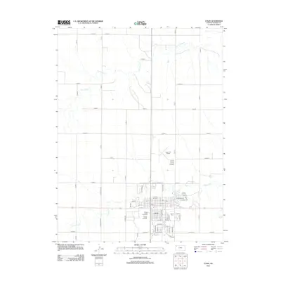
2012 Map of Colby
USGS Topo · Published 2012About this map
Colby serves as the focal point of this Thomas County survey, centered at the intersection of local industry and the agricultural plains. The town's infrastructure is clearly defined, from the Colby Community Coll campus to civic landmarks like the Po and the Thomas County Fairgrounds. The landscape is etched by the seasonal paths of the S Fork Sappa Cr to the north and Prairie Dog Cr to the south, while the Thomas County Speedway and Shalz Field Airport mark the community's modern recreational and transportation hubs. A grid of county roads, such as Co Road Z and Co Road 16, extends into the surrounding plains, providing a detailed view of the rural township organization. Local history is anchored by sites like Sacred Heart Cem and Beulah Cem, which offer significant value for genealogical research.
Find a feature on this map
61 named features on this map. Tap any name to fly to it.
Don’t see what you’re looking for? This feature index may not catch every label — zoom into the map to look around manually.
Map Details
Editions of this 2012 Colby Map
This is the sole edition of this map. No revisions or reprints were ever made.
Other maps of this area

1943 · Colby
USGS Topo · 1:62,500

1951 · Achilles
USGS Topo · 1:62,500

1951 · Chardon
USGS Topo · 1:62,500

1954 · Goodland
USGS Topo · 1:250,000

1956 · Goodland
USGS Topo · 1:250,000

1957 · Goodland
USGS Topo · 1:250,000

1967 · Colby SE
USGS Topo · 1:24,000

1967 · Levant
USGS Topo · 1:24,000

1967 · Colby SW
USGS Topo · 1:24,000

1967 · Colby
USGS Topo · 1:24,000