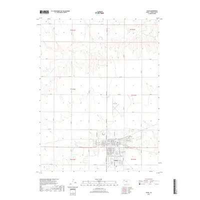
2018 Map of Colby
USGS Topo · Published 2018About this map
Colby serves as the primary hub of this High Plains landscape, where a dense residential grid transitions into the surrounding agricultural acreage of Thomas County. The town is bounded to the south by the meandering path of Prairie Dog Cr, while the northern reaches of the quadrangle are defined by the draws and drainages feeding into S Fork Sappa Cr. Within the city limits, the street network is anchored by thoroughfares like W 4th St and College St, illustrating the community's mid-century and modern development patterns. Local history and genealogy are well-represented by long-standing landmarks such as Beulah Cem and the combined church and burial site at Sacred Heart Cem. To the north of the main settlement, Shalz Field sits among the section lines, highlighting the area's aviation infrastructure.
Find a feature on this map
43 named features on this map. Tap any name to fly to it.
Don’t see what you’re looking for? This feature index may not catch every label — zoom into the map to look around manually.
Map Details
Editions of this 2018 Colby Map
This is the sole edition of this map. No revisions or reprints were ever made.
Other maps of this area

1943 · Colby
USGS Topo · 1:62,500

1951 · Achilles
USGS Topo · 1:62,500

1951 · Chardon
USGS Topo · 1:62,500

1954 · Goodland
USGS Topo · 1:250,000

1956 · Goodland
USGS Topo · 1:250,000

1957 · Goodland
USGS Topo · 1:250,000

1967 · Colby SE
USGS Topo · 1:24,000

1967 · Levant
USGS Topo · 1:24,000

1967 · Colby SW
USGS Topo · 1:24,000

1967 · Colby
USGS Topo · 1:24,000