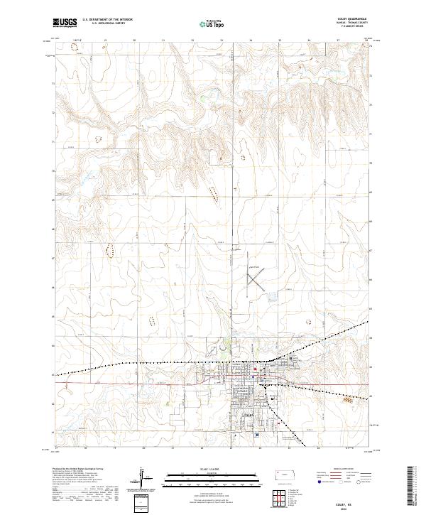
2022 Map of Colby
USGS Topo · Published 2022About this map
Colby serves as the focal point of this Thomas County survey, situated at the confluence of several regional roads and divided by the prominent east-west thoroughfare of W 4th St and E 4th St. The town's administrative and social core is anchored by the Thomas County Courthouse, while the southern reaches host the Colby Community College campus along College St. Local genealogy is well-documented through the inclusion of Beulah Cem and Sacred Heart Cem, providing clear reference points for family researchers.
Find a feature on this map
46 named features on this map. Tap any name to fly to it.
Don’t see what you’re looking for? This feature index may not catch every label — zoom into the map to look around manually.
Map Details
Editions of this 2022 Colby Map
This is the sole edition of this map. No revisions or reprints were ever made.
Other maps of this area

1943 · Colby
USGS Topo · 1:62,500

1951 · Achilles
USGS Topo · 1:62,500

1951 · Chardon
USGS Topo · 1:62,500

1954 · Goodland
USGS Topo · 1:250,000

1956 · Goodland
USGS Topo · 1:250,000

1957 · Goodland
USGS Topo · 1:250,000

1967 · Colby SE
USGS Topo · 1:24,000

1967 · Levant
USGS Topo · 1:24,000

1967 · Colby SW
USGS Topo · 1:24,000

1967 · Colby
USGS Topo · 1:24,000