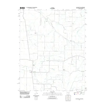
2011 Map of Colcord NE
USGS Topo · Published 2011About this map
Maysville stands as a focal point at the intersection of Stateline Rd and E0423 Rd, marking the edge of Benton County along the border. The town is anchored by the Maysville Post Office, while the surrounding landscape is defined by the open expanses of Beatie Prairie and Batson Prairie. A network of rural roads such as Hoghouse Rd and Wet Prairie Rd connects various family landmarks and historical sites.
Find a feature on this map
79 named features on this map. Tap any name to fly to it.
Don’t see what you’re looking for? This feature index may not catch every label — zoom into the map to look around manually.
Map Details
Editions of this 2011 Colcord NE Map
This is the sole edition of this map. No revisions or reprints were ever made.
Other maps of this area

1899 · Fayetteville
USGS Topo · 1:125,000
1899 · Siloam Springs
USGS Topo · 1:125,000

1901 · Fayetteville
USGS Topo · 1:125,000
1903 · Siloam Springs
USGS Topo · 1:125,000
1904 · Siloam Springs
USGS Topo · 1:125,000

1904 · Fayetteville
USGS Topo · 1:125,000
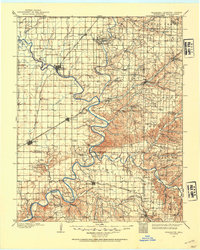
1907 · Wyandotte
USGS Topo · 1:125,000
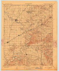
1909 · Wyandotte
USGS Topo · 1:125,000
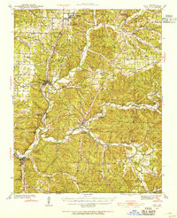
1940 · Noel
USGS Topo · 1:62,500
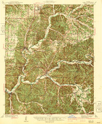
1943 · Noel
USGS Topo · 1:62,500