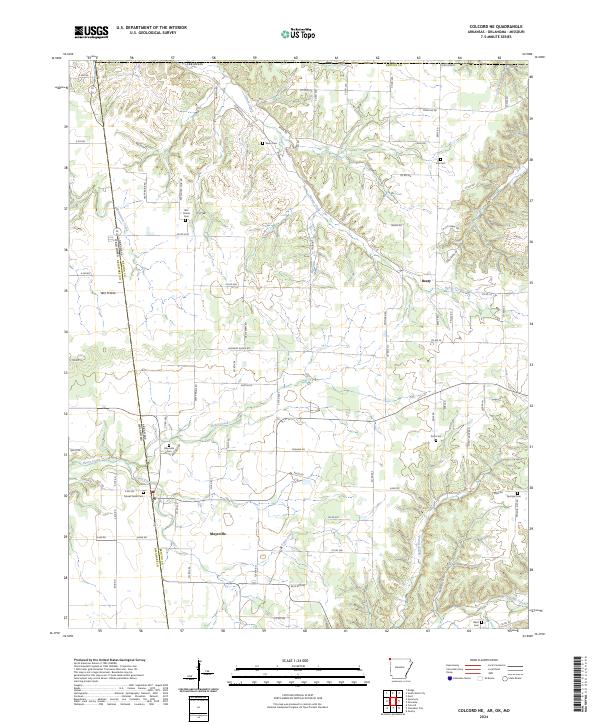
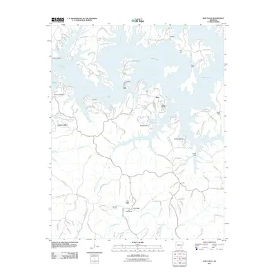
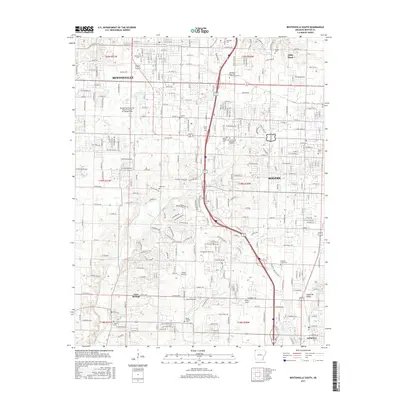
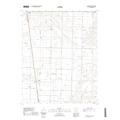
2024 Map of Colcord NE
USGS Topo · Published 2024About this map
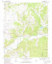
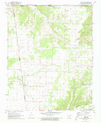
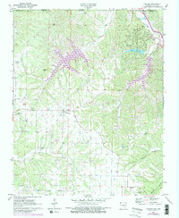
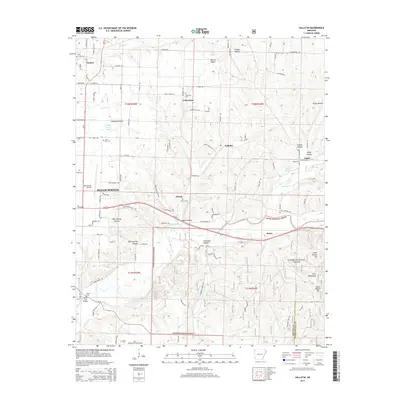
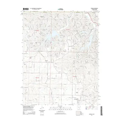
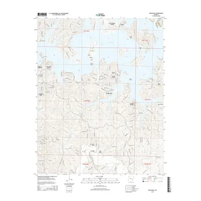
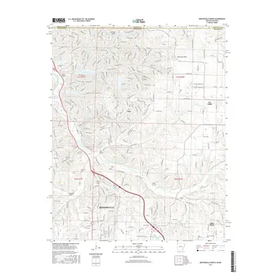
Maysville sits at the southwestern edge of this landscape where the Arkansas Oklahoma state line meets the boundary between Benton and Delaware counties. The area is defined by a network of drainage basins, including the westward-flowing Beaty Creek and Honey Creek. The settlement of Beaty and the low-lying Wet Prairie area provide central points of reference in a terrain crisscrossed by numerous county roads.
Find a feature on this map
97 named features on this map. Tap any name to fly to it.
Don’t see what you’re looking for? This feature index may not catch every label — zoom into the map to look around manually.
Map Details
Editions of this 2024 Colcord NE Map
This is the sole edition of this map. No revisions or reprints were ever made.
Historical Maps of Maysville Through Time
36 maps found
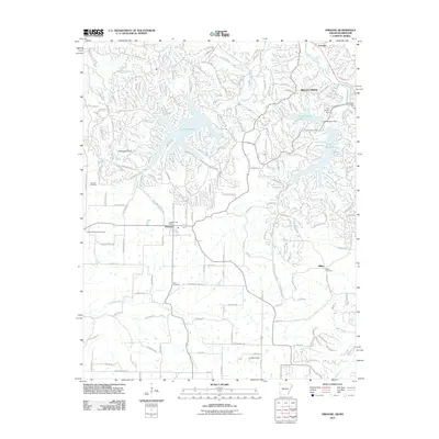
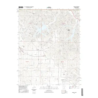
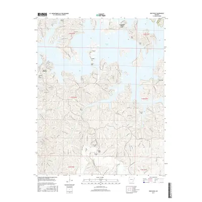
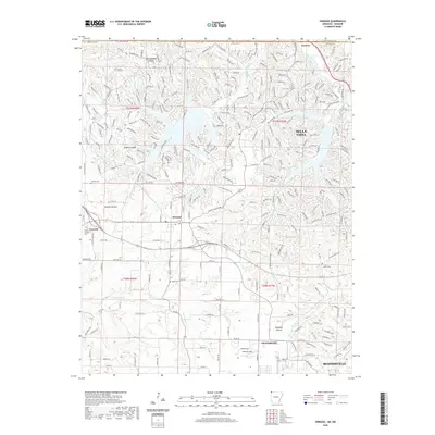
1957 War Eagle
Benton County, AR
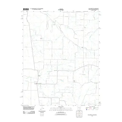
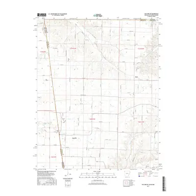
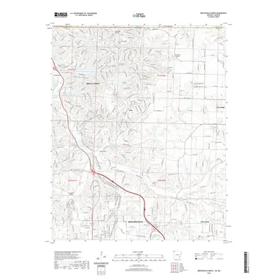
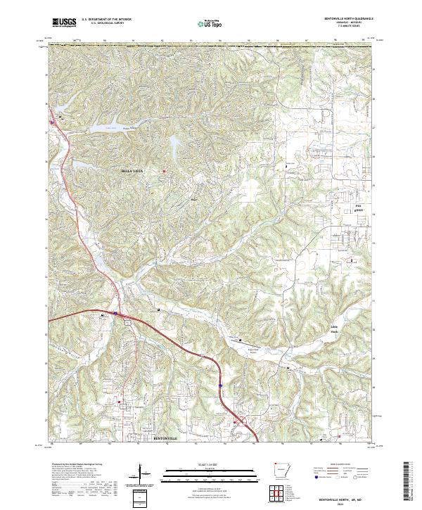
1970 Bentonville North
Benton County, AR
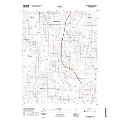
1970 Bentonville South
Benton County, AR
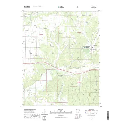
1970 Gallatin
Benton County, AR
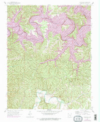
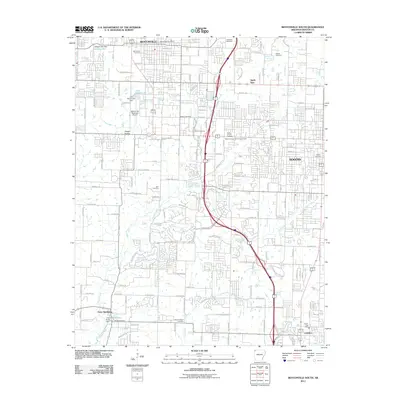
1971 Colcord NE
Benton County, AR
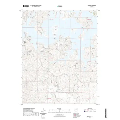
1971 Hiwasse
Benton County, AR
2011 Bentonville North
Benton County, AR
2011 Bentonville South
Benton County, AR
2011 Colcord NE
Benton County, AR
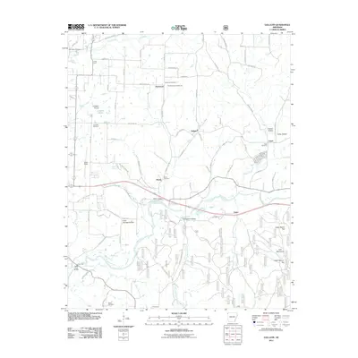
2011 Gallatin
Benton County, AR
2011 Hiwasse
Benton County, AR
2011 War Eagle
Benton County, AR
2014 Bentonville North
Benton County, AR
2014 Bentonville South
Benton County, AR
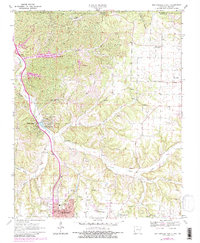
2014 Colcord NE
Benton County, AR
2014 Gallatin
Benton County, AR
2014 Hiwasse
Benton County, AR
2014 War Eagle
Benton County, AR
2017 Bentonville North
Benton County, AR
2017 Bentonville South
Benton County, AR
2017 Colcord NE
Benton County, AR
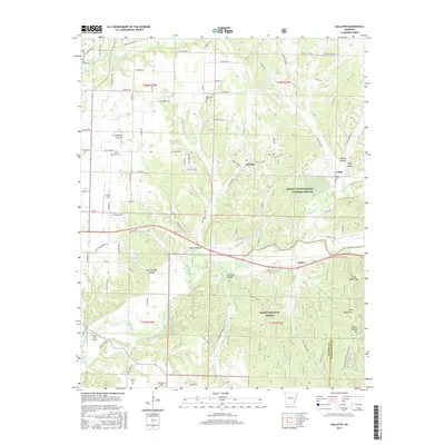
2017 Gallatin
Benton County, AR
2017 Hiwasse
Benton County, AR
2017 War Eagle
Benton County, AR
2020 Bentonville North
Benton County, AR
2020 Bentonville South
Benton County, AR
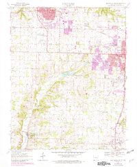
2020 Colcord NE
Benton County, AR
2020 Gallatin
Benton County, AR
2020 Hiwasse
Benton County, AR
2020 War Eagle
Benton County, AR
2024 Bentonville North
Benton County, AR
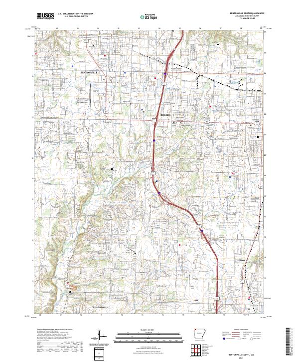
2024 Bentonville South
Benton County, AR
2024 Colcord NE
Benton County, AR
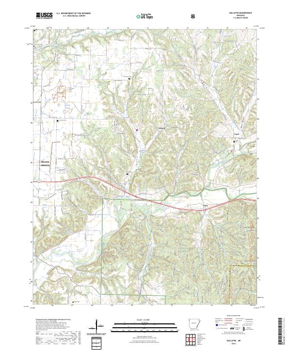
2024 Gallatin
Benton County, AR
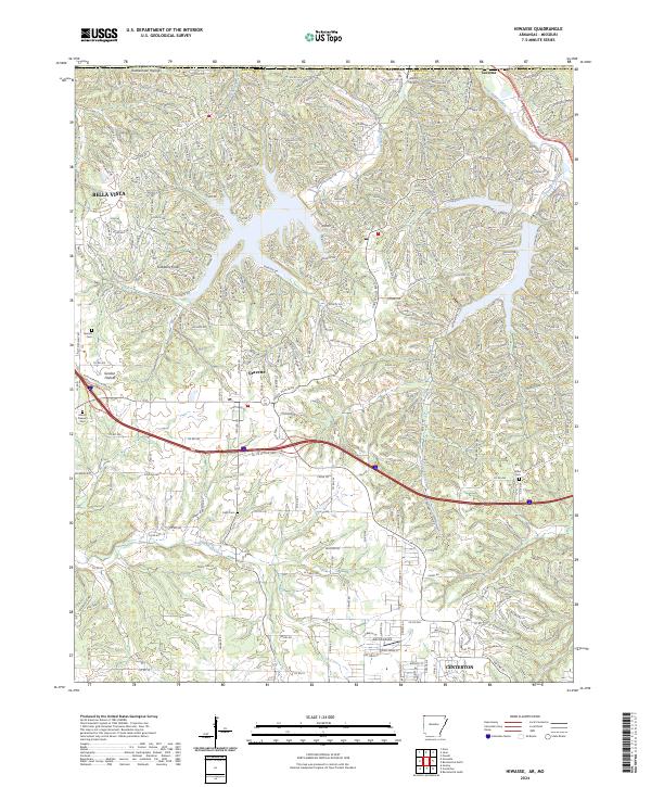
2024 Hiwasse
Benton County, AR
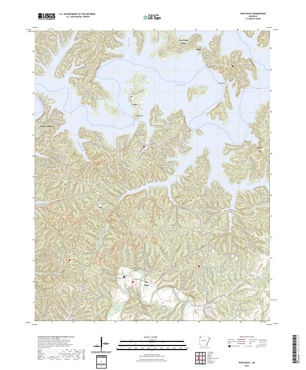
2024 War Eagle
Benton County, AR