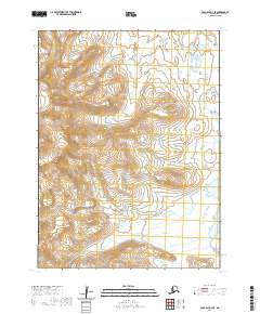
2020 Map of Cold Bay A-3 SE
USGS Topo · Published 2020About this map
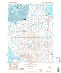
Frosty Peak dominates the western portion of this terrain, a high point within the Aleutian Range that defines the topographic character of the region. This 2020 survey illustrates a landscape of extreme relief and coastal hydrology, with the high volcanic ridges descending toward the east. In the lower elevations near the eastern boundary, Thinpoint Lake serves as a significant drainage feature for the surrounding coastal plain. The map provides a look at the township and range divisions across this part of the Aleutians East Borough, specifically mapping the intersection of T58S, T59S, and T60S across ranges R88W and R89W. This configuration reveals the raw layout of the territory before any significant human development or infrastructure was established in this specific quadrangle.
Find a feature on this map
9 named features on this map. Tap any name to fly to it.
Don’t see what you’re looking for? This feature index may not catch every label — zoom into the map to look around manually.
Map Details
Editions of this 2020 Cold Bay A-3 SE Map
This is the sole edition of this map. No revisions or reprints were ever made.
Other maps of this area

1943 · Fort Randall
USGS Topo · 1:250,000
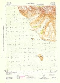
1944 · Cold Bay Sheet No. 20 of 25
USGS Topo · 1:25,000

1949 · False Pass
USGS Topo · 1:250,000

1949 · Fort Randall
USGS Topo · 1:250,000

1950 · False Pass
USGS Topo · 1:250,000

1950 · Fort Randall
USGS Topo · 1:250,000
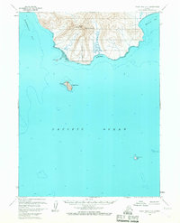
1963 · False Pass D-3
USGS Topo · 1:63,360

1963 · False Pass D-2
USGS Topo · 1:63,360
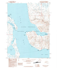
1995 · Cold Bay A-2
USGS Topo · 1:63,360
1995 · Cold Bay A-3
USGS Topo · 1:63,360