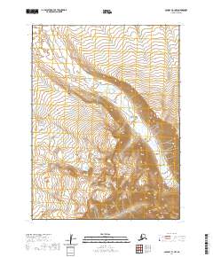
2020 Map of Cold Bay B-1 NW
USGS Topo · Published 2020About this map
The Aleutians East Borough landscape in this 2020 survey is characterized by its stark, uninhabited terrain, organized by the Public Land Survey System into townships T54s R85w, T54s R84w, T55s R85w, and T55s R84w. Published by the U.S. Geological Survey, the sheet focuses on the complex topography and drainage systems of the Cold Bay region. The absence of named settlements or infrastructure highlights the isolation of this corner of Alaska, where the map serves primarily as a study of elevation and natural watercourses. Researchers interested in the legal boundaries of this wilderness will find the township and range designations provide the primary framework for localizing land features.
Find a feature on this map
4 named features on this map. Tap any name to fly to it.
Don’t see what you’re looking for? This feature index may not catch every label — zoom into the map to look around manually.
Map Details
Editions of this 2020 Cold Bay B-1 NW Map
This is the sole edition of this map. No revisions or reprints were ever made.
Other maps of this area

1943 · Fort Randall
USGS Topo · 1:250,000

1949 · Fort Randall
USGS Topo · 1:250,000

1950 · Fort Randall
USGS Topo · 1:250,000
1963 · Cold Bay C-2
USGS Topo · 1:63,360
1963 · Cold Bay C-1
USGS Topo · 1:63,360
1983 · Cold Bay B-1
USGS Topo · 1:63,360
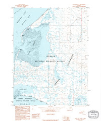
1995 · Cold Bay B-2
USGS Topo · 1:63,360
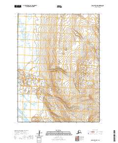
2020 · Cold Bay B-2 NE
USGS Topo · 1:25,000
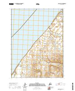
2020 · Cold Bay C-2 SE
USGS Topo · 1:25,000
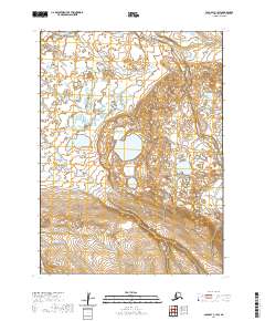
2020 · Cold Bay C-1 SW
USGS Topo · 1:25,000