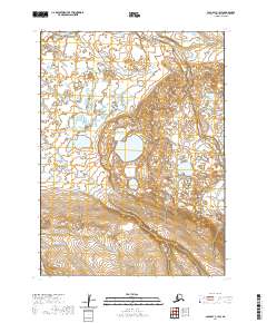
2020 Map of Cold Bay C-1 SW
USGS Topo · Published 2020About this map
Alaska Peninsula terrain dominates this 2020 study, revealing a coastal landscape defined by the shifting waters of the Cathedral River. The river meanders across the northern reaches of the quadrangle before emptying near Gerstle Bay, a key coastal feature marked by the prominent Gerstle Point. To the south, the topographic relief increases significantly as the land rises from the coastal flats into the Cathedral Valley. This area is characterized by a high density of small ponds and wetlands in the lower elevations, contrasting sharply with the steep, contoured slopes of the southern peninsula. The map provides a precise record of the natural hydrology and elevation patterns of this unpopulated stretch of the Aleutians East Borough, capturing the intersection of riverine systems and the Bering Sea coast.
Find a feature on this map
9 named features on this map. Tap any name to fly to it.
Don’t see what you’re looking for? This feature index may not catch every label — zoom into the map to look around manually.
Map Details
Editions of this 2020 Cold Bay C-1 SW Map
This is the sole edition of this map. No revisions or reprints were ever made.
Other maps of this area

1943 · Fort Randall
USGS Topo · 1:250,000

1949 · Fort Randall
USGS Topo · 1:250,000

1950 · Fort Randall
USGS Topo · 1:250,000
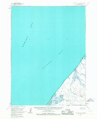
1963 · Cold Bay C-2
USGS Topo · 1:63,360
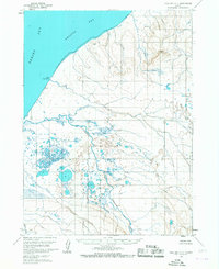
1963 · Cold Bay C-1
USGS Topo · 1:63,360
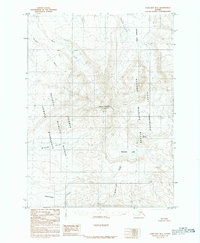
1983 · Cold Bay B-1
USGS Topo · 1:63,360
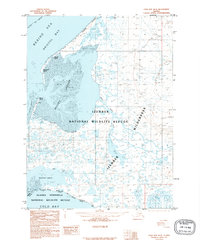
1995 · Cold Bay B-2
USGS Topo · 1:63,360
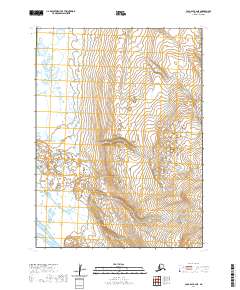
2020 · Cold Bay B-2 NE
USGS Topo · 1:25,000
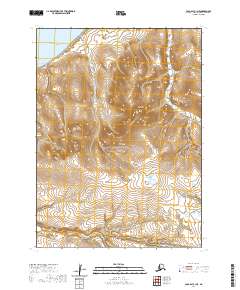
2020 · Cold Bay C-1 NE
USGS Topo · 1:25,000
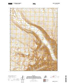
2020 · Cold Bay B-1 NW
USGS Topo · 1:25,000