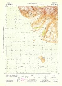
1944 Map of Cold Bay Sheet No. 20 of 25
USGS Topo · Published 1944About this map
The southwest edge of the Alaska Peninsula meets the North Pacific Ocean in this 1944 military survey, conducted during the height of World War II activity in the Aleutians. The topography highlights the steep, serrated coastlines between Morzhovoi Bay and Cape Tachilni, where peaks like Walrus Peak South rise abruptly from the sea. Offshore, Amagat Island stands as a primary feature, marked by its own Amagat Peak and a small area labeled New Amagat.
Find a feature on this map
14 named features on this map. Tap any name to fly to it.
Don’t see what you’re looking for? This feature index may not catch every label — zoom into the map to look around manually.
Map Details
Editions of this 1944 Cold Bay Sheet No. 20 of 25 Map
This is the sole edition of this map. No revisions or reprints were ever made.
Other maps of this area

1943 · Fort Randall
USGS Topo · 1:250,000

1949 · False Pass
USGS Topo · 1:250,000

1949 · Fort Randall
USGS Topo · 1:250,000

1950 · False Pass
USGS Topo · 1:250,000

1950 · Fort Randall
USGS Topo · 1:250,000
1963 · False Pass D-3
USGS Topo · 1:63,360
1995 · Cold Bay A-4
USGS Topo · 1:63,360
1995 · Cold Bay A-3
USGS Topo · 1:63,360
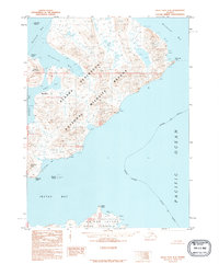
1995 · False Pass D-4
USGS Topo · 1:63,360
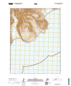
2020 · False Pass D-3 NE
USGS Topo · 1:25,000