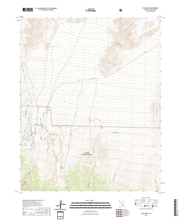
2021 Map of Cold Creek
USGS Topo · Published 2021About this map
Cold Creek Spring and the surrounding high desert terrain define this portion of the Spring Mountains within the Toiyabe National Forest. The landscape is a study in verticality, transitioning from the alluvial fans of the Mojave Desert into the steep drainages of Macks Canyon and the prominent Indian Ridge. Water is a critical and sparse resource, marked by the presence of Whisky Spring and McFarland Spring in the southwestern quadrant.
Find a feature on this map
28 named features on this map. Tap any name to fly to it.
Don’t see what you’re looking for? This feature index may not catch every label — zoom into the map to look around manually.
Map Details
Editions of this 2021 Cold Creek Map
This is the sole edition of this map. No revisions or reprints were ever made.
Other maps of this area

1907 · Las Vegas
USGS Topo · 1:250,000

1908 · Las Vegas
USGS Topo · 1:250,000

1942 · Indian Spring
USGS Topo · 1:125,000

1952 · Mercury
USGS Topo · 1:62,500

1954 · Las Vegas
USGS Topo · 1:250,000

1957 · Las Vegas
USGS Topo · 1:250,000

1957 · Mt. Stirling
USGS Topo · 1:62,500

1957 · Charleston Peak
USGS Topo · 1:62,500

1959 · Las Vegas
USGS Topo · 1:250,000

1962 · Las Vegas
USGS Topo · 1:250,000