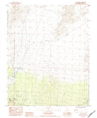
1984 Map of Cold Creek
USGS Topo · Published 1984About this map
The Spring Mountains anchor this 1984 survey, revealing a landscape defined by critical water sources in the high Nevada desert. Perched on the eastern edge of the Toiyabe National Forest, the area around Cold Creek serves as a hub for both recreation and historical activity. The presence of Cold Creek Spring, Whisky Spring, and Mc Farland Spring highlights the vital importance of these perennial points in an otherwise arid environment.
Find a feature on this map
21 named features on this map. Tap any name to fly to it.
Don’t see what you’re looking for? This feature index may not catch every label — zoom into the map to look around manually.
Map Details
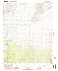
Editions of this 1984 Cold Creek Map
2 editions found
Other maps of this area

1907 · Las Vegas
USGS Topo · 1:250,000

1908 · Las Vegas
USGS Topo · 1:250,000

1942 · Indian Spring
USGS Topo · 1:125,000

1952 · Mercury
USGS Topo · 1:62,500

1954 · Las Vegas
USGS Topo · 1:250,000

1957 · Las Vegas
USGS Topo · 1:250,000

1957 · Mt. Stirling
USGS Topo · 1:62,500

1957 · Charleston Peak
USGS Topo · 1:62,500

1959 · Las Vegas
USGS Topo · 1:250,000

1962 · Las Vegas
USGS Topo · 1:250,000