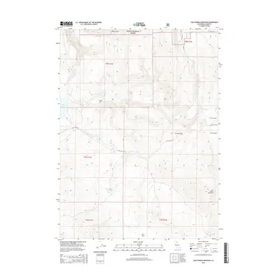
2015 Map of Cold Spring Mountain
USGS Topo · Published 2015About this map
Cold Spring Mountain anchors the eastern topography of this high-elevation landscape in Lassen County, where the transition between drainage basins defines the local terrain. The northern reaches of the quadrangle are protected within the Modoc National Forest, characterized by numerous water features including Moon Lake and the meandering Cedar Cr. Small-scale water management and historical land use are evident through the presence of the Big Meadows Reservoir and named clearings like Smith Flat and Dill Field.
Find a feature on this map
24 named features on this map. Tap any name to fly to it.
Don’t see what you’re looking for? This feature index may not catch every label — zoom into the map to look around manually.
Map Details
Editions of this 2015 Cold Spring Mountain Map
This is the sole edition of this map. No revisions or reprints were ever made.
Other maps of this area

1886 · Alturas
USGS Topo · 1:250,000

1886 · Honey Lake
USGS Topo · 1:250,000

1891 · Honey Lake
USGS Topo · 1:250,000

1892 · Alturas
USGS Topo · 1:250,000

1893 · Honey Lake
USGS Topo · 1:250,000

1954 · Observation Peak
USGS Topo · 1:62,500

1954 · Ravendale
USGS Topo · 1:62,500

1954 · Alturas
USGS Topo · 1:250,000

1955 · Westwood
USGS Topo · 1:250,000

1958 · Alturas
USGS Topo · 1:250,000