
1973 Map of Coldwater East
USGS Topo · Published 1976About this map
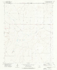
The High Plains landscape at the junction of the Texas Panhandle and Oklahoma is defined by the ephemeral path of Coldwater Creek. This 1970s survey captures the area surrounding Coldwater during a period dominated by ranching and resource extraction, with numerous irrigation Wells dotting the arid terrain. The map records the precise boundary where Oklahoma and Texas meet, along with the Cimarron and Dallam county line. Evidence of local industry is visible through several Gravel Pits and a Roadside Park along the highway. To the east, the water resources are marked by Aqua Fria Spring and the associated Aqua Fria Creek, providing critical landmarks for researchers tracing land use and water rights in this corner of Dallam County.
Find a feature on this map
9 named features on this map. Tap any name to fly to it.
Don’t see what you’re looking for? This feature index may not catch every label — zoom into the map to look around manually.
Map Details
Editions of this 1973 Coldwater East Map
This is the sole edition of this map. No revisions or reprints were ever made.
Other maps of this area

1954 · Dalhart
USGS Topo · 1:250,000

1958 · Dalhart
USGS Topo · 1:250,000

1962 · Dalhart
USGS Topo · 1:250,000

1969 · Boise City SW
USGS Topo · 1:24,000

1969 · Boise City SE
USGS Topo · 1:24,000

1971 · Conrad SW
USGS Topo · 1:24,000

1973 · Stratford 2 NW
USGS Topo · 1:24,000

1973 · Tovrea Ranch
USGS Topo · 1:24,000
1973 · Coldwater West
USGS Topo · 1:24,000
1973 · Pritchard Ranch
USGS Topo · 1:24,000