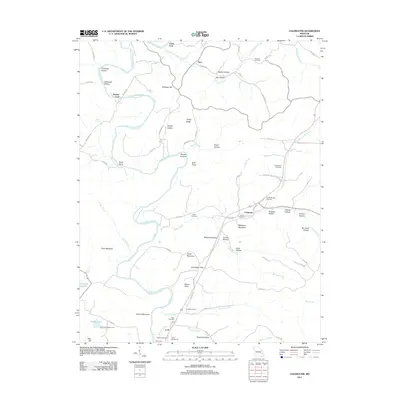
2011 Map of Coldwater
USGS Topo · Published 2011About this map
Saint Francis River winds through the heart of this Madison County landscape, shaping a terrain defined by narrow hollows and significant ridges. The settlement pattern follows the river and its tributaries, with Saco in the north and Coldwater situated near the confluence of Cedar Creek and Coon Creek. These communities are connected by a network of county roads that navigate between prominent peaks like Wilkinson Mountain and Strahl Mountain.
Find a feature on this map
94 named features on this map. Tap any name to fly to it.
Don’t see what you’re looking for? This feature index may not catch every label — zoom into the map to look around manually.
Map Details
Editions of this 2011 Coldwater Map
This is the sole edition of this map. No revisions or reprints were ever made.
Other maps of this area

1926 · Des Arc
USGS Topo · 1:62,500

1929 · Des Arc
USGS Topo · 1:62,500

1930 · Coldwater
USGS Topo · 1:62,500

1932 · Piedmont
USGS Topo · 1:62,500

1934 · Greenville
USGS Topo · 1:62,500

1935 · Piedmont
USGS Topo · 1:62,500

1939 · Greenville
USGS Topo · 1:62,500

1949 · Rolla
USGS Topo · 1:250,000

1949 · Coldwater
USGS Topo · 1:62,500

1953 · Rolla
USGS Topo · 1:250,000