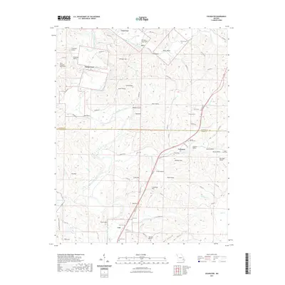
2021 Map of Coldwater
USGS Topo · Published 2021About this map
The Saint Francois Mountains dominate the western edge of this landscape, where the Saint Francis River carves a winding path through the borderlands of Madison and Wayne counties. The terrain is defined by a dense network of hollows and ridges, such as Huzzah Canyon and Turkey Ridge, which channel numerous tributaries like Twelvemile Cr and Cedar Cr. Small settlements like Saco, Coldwater, and Lodi serve as the primary nodes of human activity, connected by a winding series of state and county roads that navigate the complex topography.
Find a feature on this map
94 named features on this map. Tap any name to fly to it.
Don’t see what you’re looking for? This feature index may not catch every label — zoom into the map to look around manually.
Map Details
Editions of this 2021 Coldwater Map
This is the sole edition of this map. No revisions or reprints were ever made.
Other maps of this area

1926 · Des Arc
USGS Topo · 1:62,500

1929 · Des Arc
USGS Topo · 1:62,500

1930 · Coldwater
USGS Topo · 1:62,500

1932 · Piedmont
USGS Topo · 1:62,500

1934 · Greenville
USGS Topo · 1:62,500

1935 · Piedmont
USGS Topo · 1:62,500

1939 · Greenville
USGS Topo · 1:62,500

1949 · Rolla
USGS Topo · 1:250,000

1949 · Coldwater
USGS Topo · 1:62,500

1953 · Rolla
USGS Topo · 1:250,000