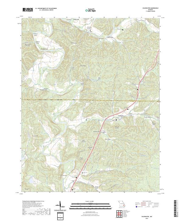
2023 Map of Coldwater
USGS Topo · Published 2023About this map
Saco, Coldwater, and Lodi anchor this terrain where the Saint Francois Mountains meet the river valleys of Madison and Wayne Counties. The landscape is deeply incised by numerous hollows, including Firebaugh Hollow and Seabaugh Hollow, while the Saint Francis River winds through the southern portion of the sheet. This area is notable for its high density of small family and community burial grounds, such as the Whitener Cem, Greenwood Cem, and the New Home General Baptist Church-Cem.
Find a feature on this map
67 named features on this map. Tap any name to fly to it.
Don’t see what you’re looking for? This feature index may not catch every label — zoom into the map to look around manually.
Map Details
Editions of this 2023 Coldwater Map
This is the sole edition of this map. No revisions or reprints were ever made.
Other maps of this area

1926 · Des Arc
USGS Topo · 1:62,500

1929 · Des Arc
USGS Topo · 1:62,500

1930 · Coldwater
USGS Topo · 1:62,500

1932 · Piedmont
USGS Topo · 1:62,500

1934 · Greenville
USGS Topo · 1:62,500

1935 · Piedmont
USGS Topo · 1:62,500

1939 · Greenville
USGS Topo · 1:62,500

1949 · Rolla
USGS Topo · 1:250,000

1949 · Coldwater
USGS Topo · 1:62,500

1953 · Rolla
USGS Topo · 1:250,000