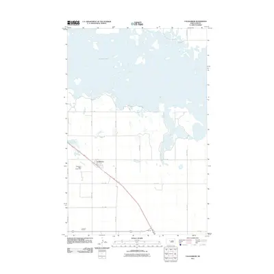
2011 Map of Coleharbor
USGS Topo · Published 2011About this map
Coleharbor anchors this McLean County landscape, positioned just south of the expansive and island-studded waters of Audubon Lake. The settlement is defined by a grid of local roads, including Frontage Rd and 1st Ave, which connect the community to the surrounding prairie. Significant local infrastructure is visible nearby, such as the Coleharbor Water Supply Dam situated along the banks of Wolf Creek. To the south, the Coleharbor Cemetery serves as a vital point of reference for genealogists and local historians tracking the families of this rural district. The map also identifies the small settlement of Gateway to the southeast, highlighting the sparse but deliberate development of the North Dakota plains in the early twenty-first century.
Find a feature on this map
20 named features on this map. Tap any name to fly to it.
Don’t see what you’re looking for? This feature index may not catch every label — zoom into the map to look around manually.
Map Details
Editions of this 2011 Coleharbor Map
This is the sole edition of this map. No revisions or reprints were ever made.
Other maps of this area

1922 · Garrison
USGS Topo · 1:62,500

1929 · Coleharbor
USGS Topo · 1:62,500

1948 · Stanton
USGS Topo · 1:62,500

1949 · Stanton
USGS Topo · 1:62,500

1949 · Washburn
USGS Topo · 1:62,500

1954 · McClusky
USGS Topo · 1:250,000

1958 · McClusky
USGS Topo · 1:250,000

1961 · Lake Nettie
USGS Topo · 1:24,000

1961 · Washburn NE
USGS Topo · 1:24,000

1961 · Underwood
USGS Topo · 1:24,000