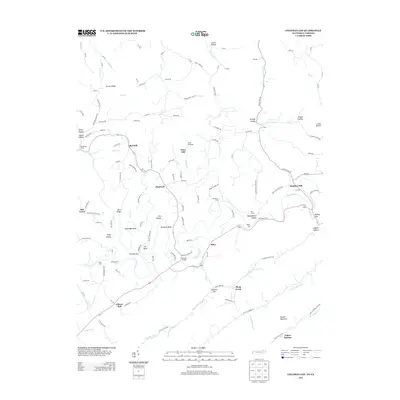
2013 Map of Coleman Gap
USGS Topo · Published 2013About this map
The Powell River creates a serpentine corridor through this borderland between Tennessee and Virginia, carving distinct geographic features like The Narrows, Eastridge Bend, and Rowland Bend. Small rural settlements and family-named landmarks are scattered throughout the valley, including Alanthus Hill, Hopewell, and Riley. The landscape is defined by its reliance on river crossings, documented here through a series of traditional transit points such as Brooks Ferry, Fugate Ford, and Rob Camp Ford.
Find a feature on this map
142 named features on this map. Tap any name to fly to it.
Don’t see what you’re looking for? This feature index may not catch every label — zoom into the map to look around manually.
Map Details
Editions of this 2013 Coleman Gap Map
This is the sole edition of this map. No revisions or reprints were ever made.
Other maps of this area

1883 · Morristown
USGS Topo · 1:125,000

1886 · Cumberland Gap
USGS Topo · 1:125,000

1887 · Jonesville
USGS Topo · 1:125,000

1888 · Cumberland Gap
USGS Topo · 1:125,000

1891 · Cumberland Gap
USGS Topo · 1:125,000

1891 · Jonesville
USGS Topo · 1:125,000

1893 · Morristown
USGS Topo · 1:125,000

1895 · Morristown
USGS Topo · 1:125,000

1897 · Maynardville
USGS Topo · 1:125,000

1900 · Maynardville
USGS Topo · 1:125,000