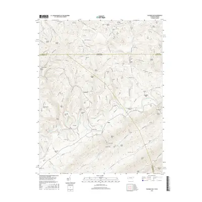
2016 Map of Coleman Gap
USGS Topo · Published 2016About this map
The Powell River meanders through the heart of this borderlands region, carving dramatic features like The Narrows and Elk Bend as it flows toward the southwest. This landscape is defined by its ridge-and-valley topography, where the high crests of Wallen Ridge and Powell Mtn parallel the winding waterway. The map documents a deeply rooted rural infrastructure, with small communities like Hopewell and Alanthus Hill connected by winding roads that traverse breaks in the terrain such as Coleman Gap and Parkey Gap.
Find a feature on this map
93 named features on this map. Tap any name to fly to it.
Don’t see what you’re looking for? This feature index may not catch every label — zoom into the map to look around manually.
Map Details
Editions of this 2016 Coleman Gap Map
This is the sole edition of this map. No revisions or reprints were ever made.
Other maps of this area

1883 · Morristown
USGS Topo · 1:125,000

1886 · Cumberland Gap
USGS Topo · 1:125,000

1887 · Jonesville
USGS Topo · 1:125,000

1888 · Cumberland Gap
USGS Topo · 1:125,000

1891 · Cumberland Gap
USGS Topo · 1:125,000

1891 · Jonesville
USGS Topo · 1:125,000

1893 · Morristown
USGS Topo · 1:125,000

1895 · Morristown
USGS Topo · 1:125,000

1897 · Maynardville
USGS Topo · 1:125,000

1900 · Maynardville
USGS Topo · 1:125,000