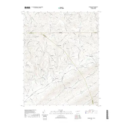
2019 Map of Coleman Gap
USGS Topo · Published 2019About this map
The Powell River winds through the heart of this landscape along the border of Tennessee and Virginia, carving distinct geological features like The Narrows, Rowland Bend, and Elk Bend. This 2019 survey documents a region defined by its narrow valleys and prominent ridges, including Wallen Ridge and Powell Mtn. The map is particularly rich in genealogical data, showing dozens of family-named burial sites such as Chadwell Cem, Overton Cem, and Fugate Cem scattered across the upland hollows.
Find a feature on this map
173 named features on this map. Tap any name to fly to it.
Don’t see what you’re looking for? This feature index may not catch every label — zoom into the map to look around manually.
Map Details
Editions of this 2019 Coleman Gap Map
This is the sole edition of this map. No revisions or reprints were ever made.
Other maps of this area

1883 · Morristown
USGS Topo · 1:125,000

1886 · Cumberland Gap
USGS Topo · 1:125,000

1887 · Jonesville
USGS Topo · 1:125,000

1888 · Cumberland Gap
USGS Topo · 1:125,000

1891 · Cumberland Gap
USGS Topo · 1:125,000

1891 · Jonesville
USGS Topo · 1:125,000

1893 · Morristown
USGS Topo · 1:125,000

1895 · Morristown
USGS Topo · 1:125,000

1897 · Maynardville
USGS Topo · 1:125,000

1900 · Maynardville
USGS Topo · 1:125,000